Pizzo di Campedell

Gallery (1)
Map
Map
Facts and practical information
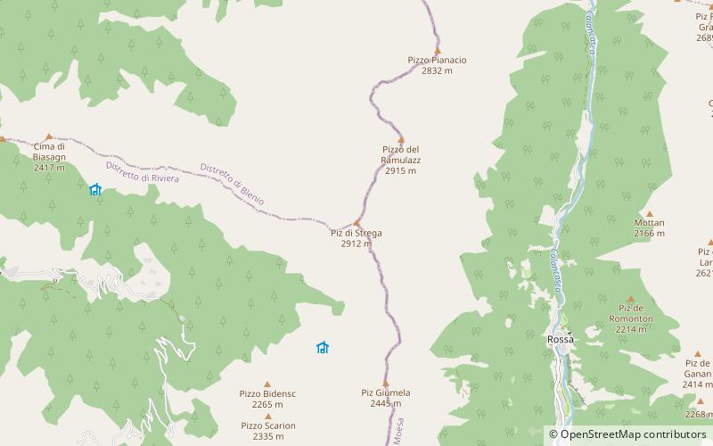
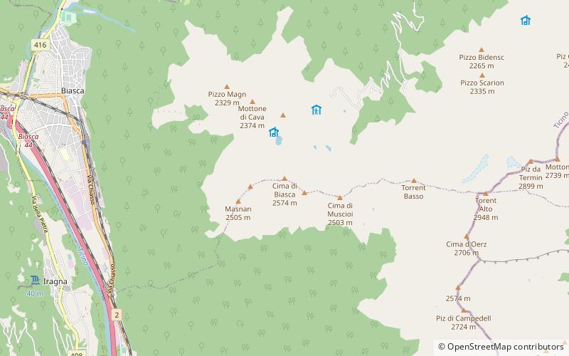
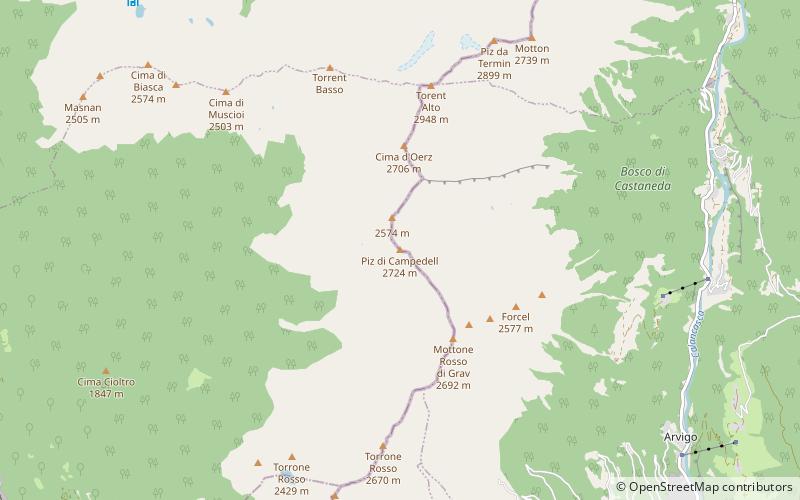
Pizzo di Campedell is a mountain in the Lepontine Alps, located on the border between the Swiss cantons of Ticino and Graubünden. It lies on the range south of Torent Alto between the valley of the Ticino and the Val Calanca. ()
Elevation: 8937 ftProminence: 804 ftCoordinates: 46°19'27"N, 9°3'57"E
Location
Graubünden
ContactAdd
Social media
Add
Day trips