Torent Alto
#1387 among destinations in Switzerland
![Torent Alto location map](https://tzmedia.b-cdn.net/media/images/static-maps/ch/46_3436_9_07112.jpg)
Facts and practical information
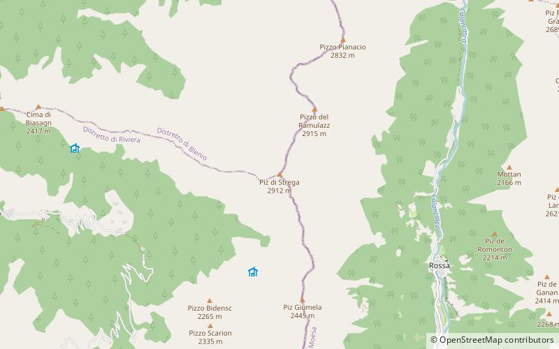
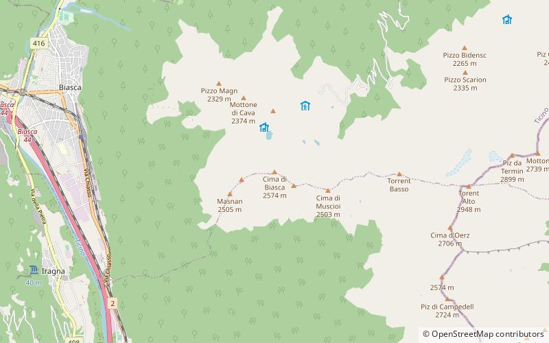
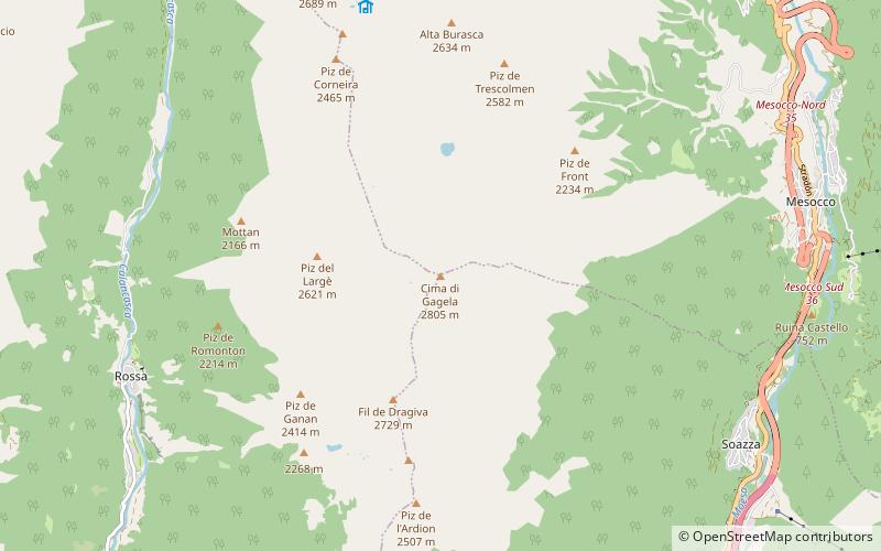
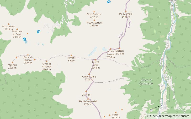
The Torent Alto is a mountain of the Swiss Lepontine Alps, located on the border between the cantons of Ticino and Graubünden. It is the highest mountain lying on the chain between Pass Giümella, east of Biasca and Bellinzona. ()
TicinoSwitzerland
Torent Alto plan & book
Unleash the traveler in you — discover the cheapest flight deals, find the perfect hotel or hostel nearby, and search for the best car rental prices. Travel at your own pace to discover new places and enjoy your journey.
Torent Alto – popular in the area (distance from the attraction)
Nearby attractions include: Pizzo di Claro, Norantola Castle, Capanna Brogoldone, Pizzo Magn.
3.4 miSNature, Natural attraction, MountainPizzo di Claro
88 min walk • Pizzo di Claro is a 2,727 metres high mountain of the Lepontine Alps, located on the border between the Swiss cantons of Ticino and Graubünden. It overlooks Claro on its western side, although Cresciano is closer. On its eastern side it overlooks the valley of Calanca near Arvigo.
6.5 miSEForts and castlesNorantola Castle
167 min walk • Norantola Castle is a ruined castle in the municipality of Cama of the Canton of Graubünden in Switzerland.
5.6 miSHiking, Alpine hutCapanna Brogoldone, Lumino
143 min walk • Capanna Brogoldone is a refuge in the Adula Alps at 1904 m above sea level. It is located in the territory of the municipality of Lumino in the Swiss canton of Ticino. According to the SOIUSA classification, the area belongs to the Lepontine Alps.
3.2 miWNature, Natural attraction, MountainPizzo Magn
83 min walk • Pizzo Magn or Monte Crenone is a mountain of the Swiss Lepontine Alps, overlooking Biasca in the canton of Ticino. It is located west of the Mottone di Cava.
3.2 miNNature, Natural attraction, MountainPiz di Strega
83 min walk • Piz di Strega is a mountain in the Lepontine Alps, overlooking Pass Giümela on the border between the cantons of Ticino and Graubünden. Its summit lies south of Pizzo di Ramulazz.
6 miNWNature, Natural attraction, LakeBacino di Val Malvaglia
154 min walk • Bacino di Val Malvaglia is a lake above Malvaglia in the canton of Ticino, Switzerland. The reservoir's surface area is 0.19 km². Its arch dam was built in 1959 and is operated by Officine Idroelettriche di Blenio SA.
2.3 miWNature, Natural attraction, MountainCima di Biasca
60 min walk • The Cima di Biasca is a mountain of the Swiss Lepontine Alps, located southeast of Biasca in the canton of Ticino.
2.3 miENature, Natural attraction, ValleyVal Calanca
60 min walk • The Val Calanca is a valley of the Swiss Alps, located in the Lepontine Alps. The valley is drained by the Calancasca, a tributary of the Moesa, at Roveredo.
1.4 miSNature, Natural attraction, MountainPizzo di Campedell
35 min walk • Pizzo di Campedell is a mountain in the Lepontine Alps, located on the border between the Swiss cantons of Ticino and Graubünden. It lies on the range south of Torent Alto between the valley of the Ticino and the Val Calanca.
5.7 miNENature, Natural attraction, MountainCima de Gagela, Valle Mesolcina
145 min walk • Cima de Gagela is a mountain of the Lepontine Alps, located between the Val Calanca and the Mesolcina, in the canton of Graubünden. With a height of 2,805 metres above sea level, it is the highest summit of the range located south of Pass di Passit. The mountain lies approximately halfway between Rossa and Mesocco.
4.8 miWChurchChurch of Saints Peter and Paul, Biasca
122 min walk • The church of Sts. Peter and Paul stands east above the village of Biasca on a rocky ridge in the Swiss canton of Ticino. It was built between the end of the 11th and the beginning of the 12th centuries and, with its gallery of murals from various...