Capanna Leit
Map
![Capanna Leit location map](https://tzmedia.b-cdn.net/media/images/static-maps/ch/46_4669_8_71882.jpg)
Map
![Capanna Leit location map](https://tzmedia.b-cdn.net/media/images/static-maps/ch/46_4669_8_71882.jpg)
Facts and practical information
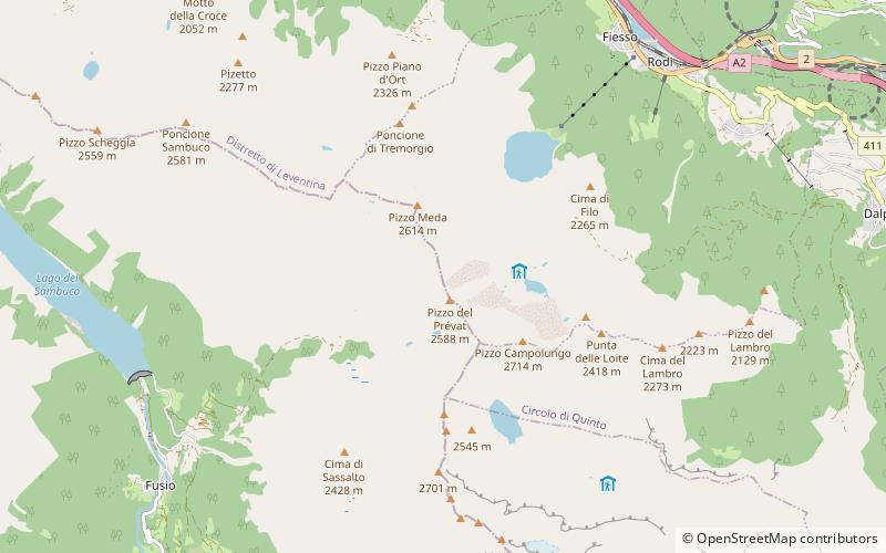
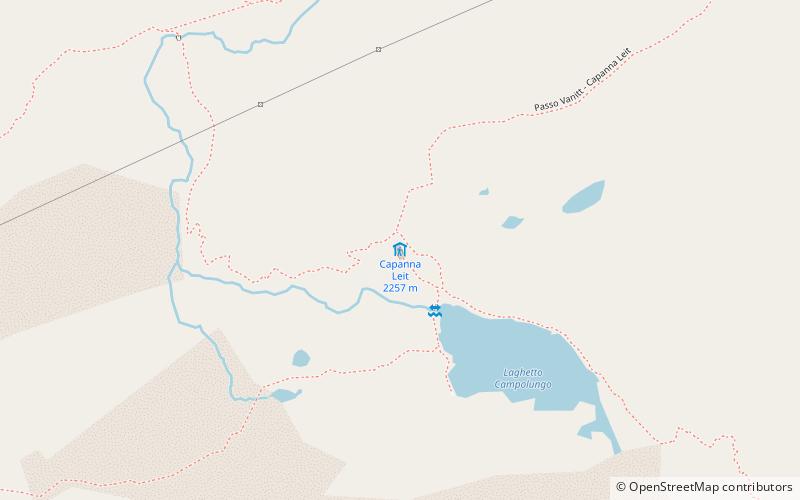
Capanna Leìt is a refuge in the upper Valle Leventina, in the territory of the municipality of Prato in the canton of Ticino. It stands at an altitude of 2257 m above sea level in the Lepontine Alps.
Day trips
Capanna Leit – popular in the area (distance from the attraction)
Nearby attractions include: Tremorgio Lake, Lago di Morghirolo, Pizzo Campolungo, Campolungo Pass.