Campolungo Pass

Map
Facts and practical information
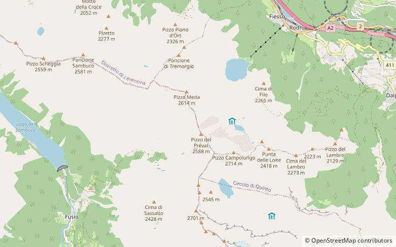
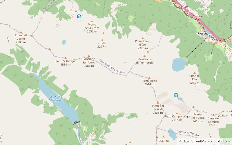
The Campolungo Pass is an Alpine pass connecting Fusio and Prat in the Swiss canton of Ticino. With a height of 2,318 metres above sea level, the Campolungo is the lowest pass connecting the valleys of Maggia and Leventina. ()
Maximum elevation: 7605 ftCoordinates: 46°27'59"N, 8°42'25"E
Location
Ticino
ContactAdd
Social media
Add
Day trips
Campolungo Pass – popular in the area (distance from the attraction)
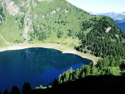
Nearby attractions include: Tremorgio Lake, Lago di Morghirolo, Pizzo Campolungo, Pizzo Massari.


