Tête de Ferret
#814 among destinations in Switzerland

Facts and practical information
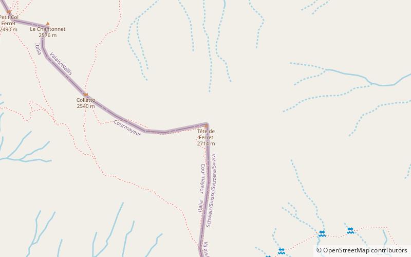
The Tête de Ferret is a mountain of the Pennine Alps on the Swiss-Italian border. It lies just east of the Mont Blanc massif, between the Swiss Val Ferret and the Italian Val Ferret. ()
ValaisSwitzerland
Tête de Ferret – popular in the area (distance from the attraction)
Nearby attractions include: A Neuve Hut, Great St Bernard Hospice, Mont Dolent, Aiguille d'Argentière.
 Alpine hut, Hiking
A Neuve Hut
96 min walk • Nestled in the heart of the Swiss Alps, A Neuve Hut offers a serene escape for mountaineers and nature enthusiasts alike. This alpine hut, perched at an elevation of 2,735 meters, serves as a base for those seeking to explore the rugged beauty of the surrounding...
 Sacred and religious sites, Church, Monastery
Great St Bernard Hospice, Bourg-Saint-Pierre
125 min walk • The Great St Bernard Hospice, named after Bernard of Menthon, is a hospice or hostel for travelers in southwestern Switzerland. At an elevation of 2,469 m at the Great St Bernard Pass in the Pennine Alps, the border with Italy is only a few hundred metres to the south.
 Mountain peak with dramatic views
Mont Dolent
61 min walk • Mont Dolent is a mountain in the Mont Blanc massif and lies on the border between Italy, Switzerland and France. As a mountain, Mont Dolent is regarded as the tripoint between Italy, Switzerland and France, although the tripoint itself lies at 3,749 metres, less than 100 metres north-west of its summit.
 Nature, Natural attraction, Mountain
Aiguille d'Argentière
133 min walk • The Aiguille d'Argentière is a mountain in the Mont Blanc massif on the border between France and Switzerland. The first ascent of the mountain was by a British party comprising Edward Whymper and A. Reilly with guides Michel Croz, M. Payot, H. Charlet on 15 July 1864.
 Nature, Natural attraction, Mountain
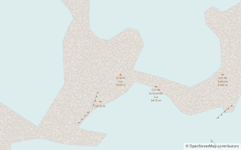
Grande Lui
117 min walk • The Grande Lui is a mountain of the Mont Blanc massif, located west of La Fouly in the canton of Valais. It lies east of the Aiguille de l'A Neuve, on the range between the glaciers of Saleina and L'A Neuve.
 Nature, Natural attraction, Mountain pass
Great St Bernard Pass
125 min walk • The Great St Bernard Pass is the third highest road pass in Switzerland, at an elevation of 2,469 m. It connects Martigny in the canton of Valais in Switzerland with Aosta in the region Aosta Valley in Italy.
 Nature, Natural attraction, Mountain
Monts Telliers
85 min walk • Monts Telliers are a mountain with twin peaks in the Pennine Alps of Switzerland. It is relatively easy to reach from the Swiss side of the ascent towards the Great St.
 Nature, Natural attraction, Mountain
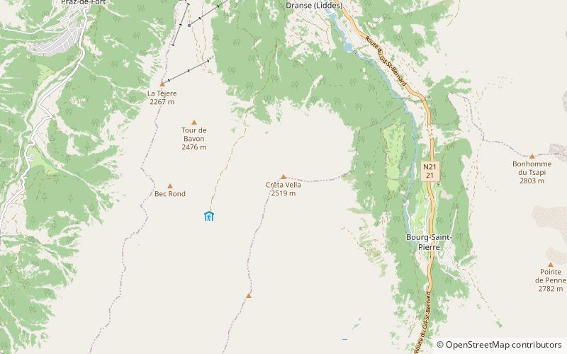
Crêta de Vella
165 min walk • The Crêta de Vella is a mountain of the Swiss Pennine Alps, located south of Liddes in the canton of Valais. It lies at the northern end of the chain separating the Comba de l'A from the main valley of Entremont.
 Nature, Natural attraction, Natural feature
Saleina Glacier
140 min walk • The Saleina Glacier is a 6 km long glacier situated on the north-eastern edge of the Mont Blanc Massif in the canton of Valais in Switzerland. It flows in a roughly north-easterly direction from the Aiguille d'Argentière, down towards the Val Ferret.
 Nature, Natural attraction, Mountain
Grand Darray
115 min walk • The Grand Darray is a mountain of the Mont Blanc massif, located north of La Fouly in the canton of Valais. It lies on the range east of the Aiguille de l'A Neuve, between the Saleina Glacier and the main Ferret valley.
 Nature, Natural attraction, Mountain
Mont Fourchon
84 min walk • Mont Fourchon is a mountain of the Pennine Alps, located on the border between Switzerland and Italy. It is located on the main chain of the Alps, approximately halfway between the Grand Golliat and the Great St Bernard Pass.