Mont Dolent
#142 among destinations in Switzerland

Facts and practical information
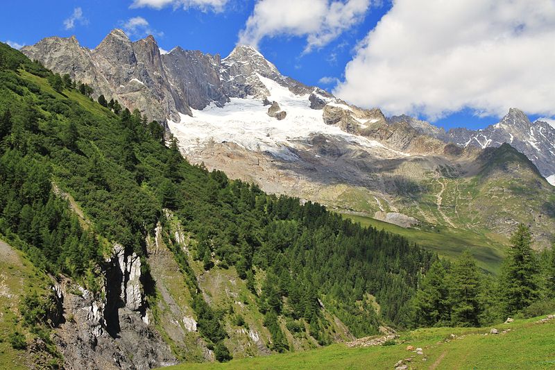
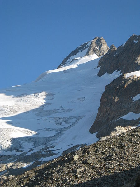
Mont Dolent is a mountain in the Mont Blanc massif and lies on the border between Italy, Switzerland and France. ()
ValaisSwitzerland
Mont Dolent – popular in the area (distance from the attraction)
Nearby attractions include: Trient Hut, A Neuve Hut, Saleina Hut, Aiguille d'Argentière.
 Alpine hut, Hiking
Trient Hut
137 min walk • Nestled in the embrace of the Swiss Alps, the Trient Hut is a beacon for mountaineers and hikers traversing the snowy landscapes of Switzerland. This alpine hut, perched at an altitude of 3170 meters, offers a respite from the rugged terrains of the Mont Blanc massif.
 Alpine hut, Hiking
A Neuve Hut
54 min walk • Nestled in the heart of the Swiss Alps, A Neuve Hut offers a serene escape for mountaineers and nature enthusiasts alike. This alpine hut, perched at an elevation of 2,735 meters, serves as a base for those seeking to explore the rugged beauty of the surrounding...
 Alpine hut, Hiking
Saleina Hut
101 min walk • Nestled in the tranquil embrace of the Swiss Alps, the Saleina Hut stands as a testament to the spirit of alpine adventure. This mountain refuge, perched at an elevation of 2,691 meters, serves as a haven for climbers and hikers traversing the rugged terrain of the...
 Nature, Natural attraction, Mountain
Aiguille d'Argentière
74 min walk • The Aiguille d'Argentière is a mountain in the Mont Blanc massif on the border between France and Switzerland. The first ascent of the mountain was by a British party comprising Edward Whymper and A. Reilly with guides Michel Croz, M. Payot, H. Charlet on 15 July 1864.
 Nature, Natural attraction, Mountain
Pointe d'Orny
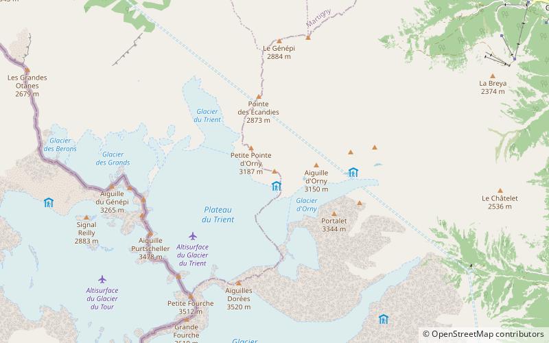
141 min walk • The Pointe d'Orny is a mountain of the Mont Blanc massif, located west of Orsières in the canton of Valais. It lies north-east of the Plateau du Trient. Below the summit lies the Cabane du Trient, a mountain hut operated by the Swiss Alpine Club.
 Nature, Natural attraction, Mountain
Tête de Ferret
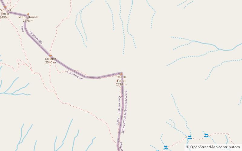
61 min walk • The Tête de Ferret is a mountain of the Pennine Alps on the Swiss-Italian border. It lies just east of the Mont Blanc massif, between the Swiss Val Ferret and the Italian Val Ferret.
 Nature, Natural attraction, Mountain
Aiguilles Dorées
109 min walk • The Aiguilles Dorées are a multi-summited mountain of the Mont Blanc massif, overlooking the Plateau du Trient in the canton of Valais. They lie east of the Petite Fourche, on the range between the glaciers of Trient and Saleina.
 Nature, Natural attraction, Mountain
Grande Fourche
101 min walk • The Grande Fourche is a mountain in the Mont Blanc Massif, located on the Swiss-French border. It lies between the Glacier de Saleina and the Glacier du Tour.
 Nature, Natural attraction, Mountain
Grande Lui
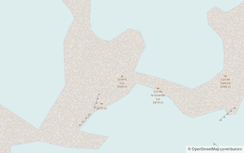
64 min walk • The Grande Lui is a mountain of the Mont Blanc massif, located west of La Fouly in the canton of Valais. It lies east of the Aiguille de l'A Neuve, on the range between the glaciers of Saleina and L'A Neuve.
 Nature, Natural attraction, Mountain
Monts Telliers
129 min walk • Monts Telliers are a mountain with twin peaks in the Pennine Alps of Switzerland. It is relatively easy to reach from the Swiss side of the ascent towards the Great St.
 Nature, Natural attraction, Natural feature
Trient Glacier
130 min walk • The Trient Glacier is a 4.3 km long glacier situated in the Mont Blanc Massif in the canton of Valais in Switzerland. In 1973 it had an area of 6.4 km². The upper part of the glacier forms a large plateau named Plateau du Trient. The glacier constitutes the source of the river Trient.


