Selibüel

Map
Facts and practical information
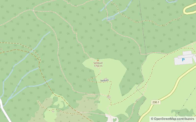
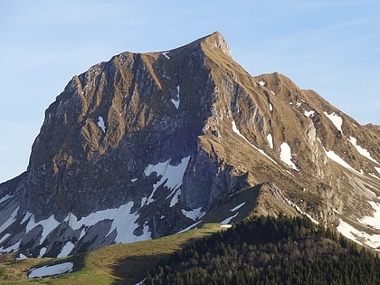
The Selibüel is a mountain of the Bernese Alpine foothills, located in the municipality of Rüschegg in the canton of Bern. It is the culminating point of the wooded range that lies north of the Gurnigel Pass, between the valleys of the Sense and the Aare. The summit area, as well as the other summits of the range, such as the Pfyffe, is easily accessible by car or by bus via the Gurnigel road. ()
Location
Selibühl 1 1738 SangernbodenSangernboden 1738 Bern
ContactAdd
Social media
Add
Day trips
Selibüel – popular in the area (distance from the attraction)
Nearby attractions include: Stockhorn, Hinterstockensee, Gantrisch, Pfyffe.


