Ochsen
Map
Map

Facts and practical information
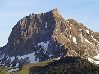
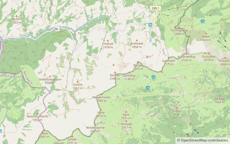
The Ochsen is a 2,188.4 metres high mountain in the Bernese Alps, overlooking Schwefelbergbad in the canton of Bern. It is the highest mountain of the Gantrisch chain. The Louigrat is the easiest path, taking approximately 3 hours. Another path goes via the north ridge via Chli Ochsen. There is a memorial just below the small summit area. ()
Alternative names: First ascent: 1698Elevation: 7178 ftProminence: 1260 ftCoordinates: 46°41'56"N, 7°25'7"E
Location
Bern
ContactAdd
Social media
Add
Day trips
Ochsen – popular in the area (distance from the attraction)
Nearby attractions include: Gantrisch, Kaiseregg, Pfyffe, Weissenburg Castle.

