Auenberg

Gallery (1)
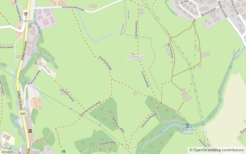
Map
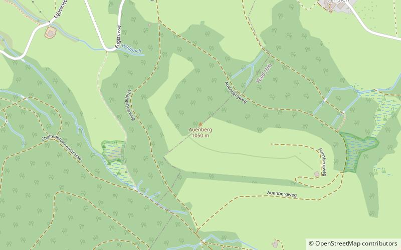
Map
Facts and practical information
The Auenberg is a mountain of the Bachtel-Allmen chain in the Zurich Oberland. Its 1051 m above sea level peak is located about 800 meters north of the 1115 m above sea level Bachtel, on the border between the municipalities of Hinwil and Wald.
The beautiful and quiet grassy summit of the Auenberg is a less frequented excursion destination than the Bachtel with its lookout tower and restaurant, but a worthwhile hiking destination with beautiful distant views in all directions.
Location
Zürich
ContactAdd
Social media
Add
Day trips