Augustinergasse, Zurich
Facts and practical information
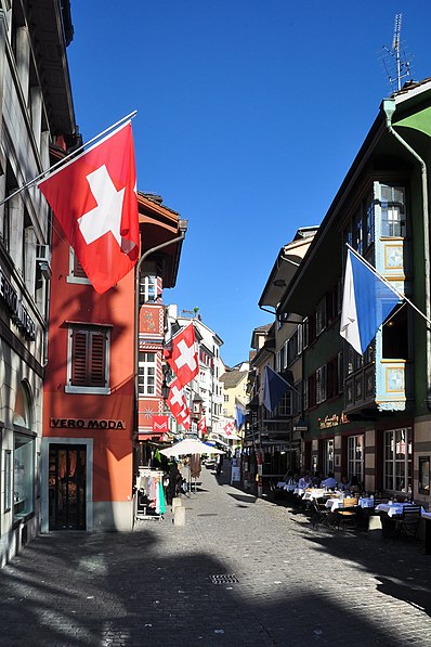
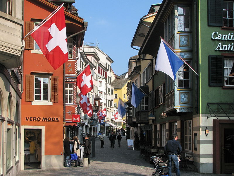
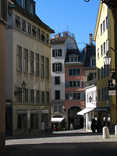
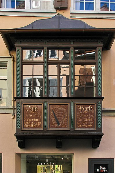
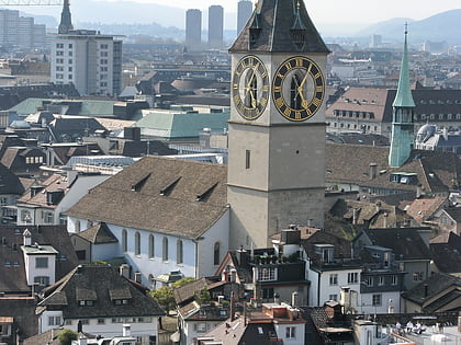
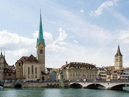
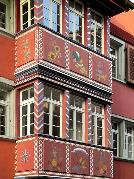
Augustinergasse is a medieval lane that today is part of the innercity pedestrian zone of Zürich, Switzerland. It is named after the former Augustinian Abbey that is now Augustinerkirche, the former church of the convent that was disestablished in 1525. Once, it was one of the nodal points of road and public transportation between Münsterhof, St. Peterhofstatt, the present Münzplatz plaza at the former abbey, and one of the gates and fortifications of the medieval town walls. Today, as well as the Limmatquai, Augustinergasse is a section of the southern extension of the Seeuferanlage promenades that were built between 1881 and 1887, and one of the best known visitor attractions of the oldest area of the city of Zürich. ()
Augustinergasse – popular in the area (distance from the attraction)
Nearby attractions include: Bahnhofstrasse, Confiserie Sprüngli, Grossmünster, Zunfthaus zur Meisen.
Frequently Asked Questions (FAQ)
Which popular attractions are close to Augustinergasse?
How to get to Augustinergasse by public transport?
Ferry
- Zürich Storchen (3 min walk)
- Zürich Limmatquai (4 min walk)
Tram
- Rennweg • Lines: 10, 11, 13, 17, 6, 7 (3 min walk)
- Rathaus • Lines: 15, 4 (4 min walk)
Trolleybus
- Löwenplatz • Lines: 31 (8 min walk)
- Neumarkt • Lines: 31 (10 min walk)
Bus
- Bürkliplatz • Lines: 161, 165 (9 min walk)
- Bahnhofplatz/HB • Lines: N2, N8 (10 min walk)
Train
- Central Polybahn (10 min walk)
- Zürich HB SZU (10 min walk)
Light rail
- Bahnhof Stadelhofen • Lines: S18 (15 min walk)
- Kreuzplatz • Lines: 11, 8, S18 (21 min walk)


