Lago del Narèt

Gallery (1)
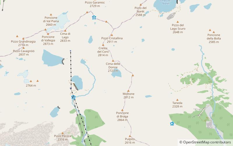
Map
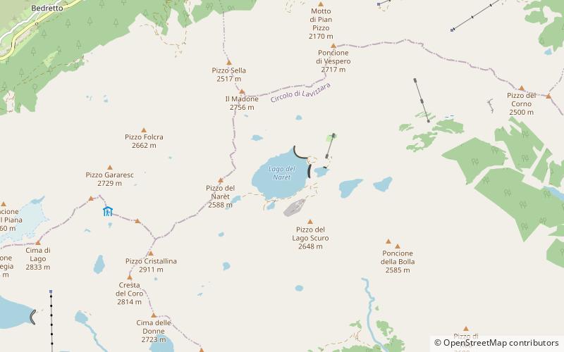
Map
Facts and practical information
Lago del Narèt is a lake in Val Sambuco, Ticino, Switzerland. Its surface area is 86 ha. It is located in the municipality of Lavizzara. The closest village is Fusio. ()
Location
Ticino
ContactAdd
Social media
Add
Day trips