Rheinwaldhorn
Map
Gallery
Facts and practical information
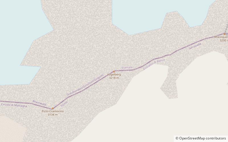
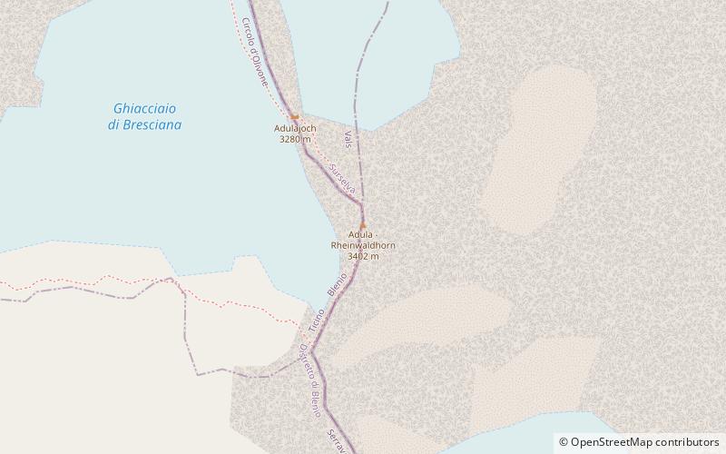
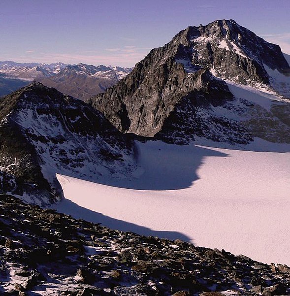
The Rheinwaldhorn is the highest point in the Swiss canton of Ticino at 3,402 metres above sea level. It lies on the border between the cantons of Graubünden and Ticino, in the Adula massif, part of the St. Gotthard massif of the Lepontine Alps in southern Switzerland. ()
Alternative names: First ascent: 1789Elevation: 11161 ftProminence: 4386 ftCoordinates: 46°29'37"N, 9°2'25"E
Location
Ticino
ContactAdd
Social media
Add
Day trips
Rheinwaldhorn – popular in the area (distance from the attraction)
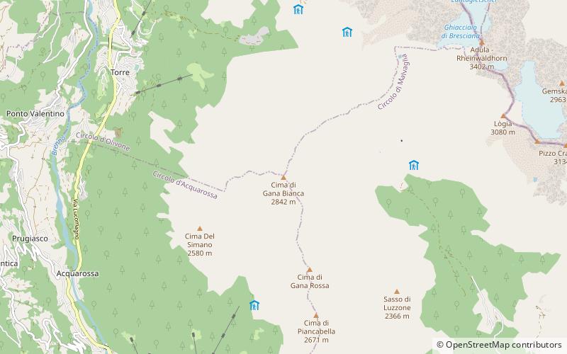
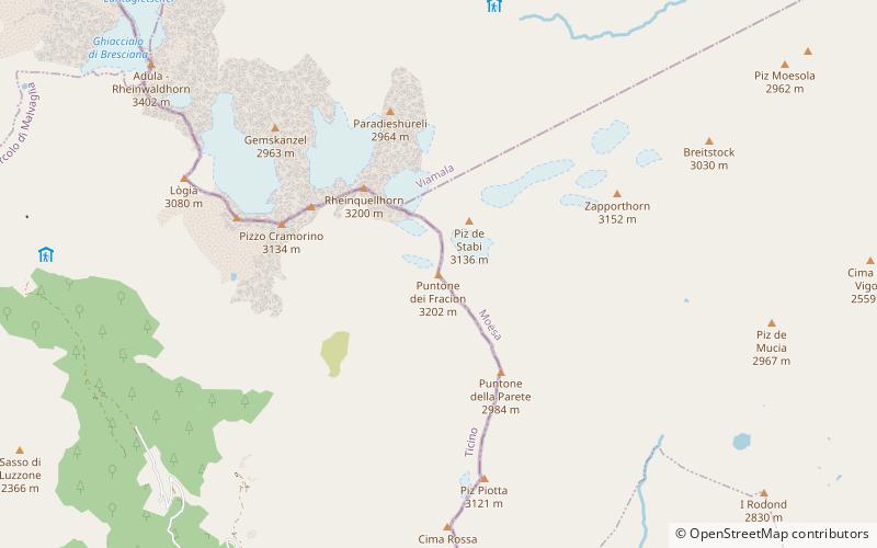
Nearby attractions include: Cima Rossa, Vogelberg, Cima di Gana Bianca, Puntone dei Fraciòn.


