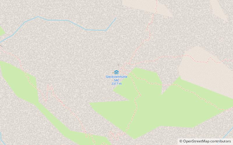
Gleckstein Hut
#992 among destinations in Switzerland


Facts and practical information
The Gleckstein Hut is a mountain hut of the Swiss Alpine Club, located east of Grindelwald in the canton of Bern. The hut lies at a height of 2,317 metres above sea level, above the Upper Grindelwald Glacier, at the foot of the Wetterhorn in the Bernese Alps. ()
Gleckstein Hut – popular in the area (distance from the attraction)
Nearby attractions include: First, Schreckhorn, Wetterhorn, Schreckhorn Hut.
 Summit with cable cars and dramatic views
First, Grindelwald
81 min walk • First is a mountain location and minor summit on the slopes of the Schwarzhorn in the Bernese Oberland. It is mostly known as a cable car station above Grindelwald and as a popular hiking area with the Bachalpsee in proximity.
 Prominent mountain with a base hut
Schreckhorn
68 min walk • The Schreckhorn is a mountain in the Bernese Alps. It is the highest peak located entirely in the canton of Berne. The Schreckhorn is the northernmost Alpine four-thousander and the northernmost summit rising above 4,000 metres in Europe.
 Nature, Natural attraction, Mountain
Wetterhorn, Grindelwald
33 min walk • The Wetterhorn is a peak in the Swiss Alps towering above the village of Grindelwald. Formerly known as Hasle Jungfrau, it is one of three summits on a mountain named the "Wetterhörner", the highest of which is the Mittelhorn and the lowest and most distant the Rosenhorn.
 Alpine hut, Hiking
Schreckhorn Hut
77 min walk • The Schreckhorn Hut is a mountain hut of the Swiss Alpine Club, located south of Grindelwald in the canton of Bern. The hut lies at a height of 2,529 metres above sea level, above the Lower Grindelwald Glacier, at the foot of the Schreckhorn in the Bernese Alps.
 Nature, Natural attraction, Mountain
Lauteraarhorn
83 min walk • The Lauteraarhorn is a peak of the Bernese Alps, located in the canton of Bern. Together with the higher Schreckhorn, to which it is connected by a high ridge, it lies between the valleys of the Lower Grindelwald Glacier and the Unteraar Glacier, about 10 kilometres southeast of Grindelwald, the closest locality.
 Prominent peak in the Bernese Alps
Mettenberg
36 min walk • The Mettenberg is a mountain of the Bernese Alps, overlooking Grindelwald in the Bernese Oberland. It lies north of the Schreckhorn and forms a huge buttress of the Schreckhorn range.
 Nature, Natural attraction, Mountain
Rosenhorn
51 min walk • The Rosenhorn is a peak in the Bernese Alps in the Bernese Oberland. It is lowest of the three composing the Wetterhorner massif, and most distant from the alpine village of Grindelwald to the southwest.
 Nature, Natural attraction, Mountain
Mittelhorn
39 min walk • The Mittelhorn is a peak in the Swiss Alps close to the village of Grindelwald. It is the highest of the three composing the Wetterhorner massif.
 Nature, Natural attraction, Mountain
Dossen
91 min walk • The Dossen is a mountain in the Bernese Alps, overlooking Rosenlaui in the Bernese Oberland. It is located east of the Rosenlaui Glacier. The Dossen is composed of two summits: the northern summit and southern summit.
 Aerial tramway
Grindelwald–Männlichen gondola cableway
94 min walk • The Grindelwald–Männlichen gondola cableway is a gondola cableway linking Grindelwald with Männlichen. It is owned and operated by the Gondelbahn Grindelwald–Männlichen AG. The Grindelwald–Männlichen gondola cableway was the longest passenger-carrying gondola cableway in the world when it opened in 1978.
 Nature, Natural attraction, Natural feature
Lower Grindelwald Glacier
75 min walk • The Lower Grindelwald Glacier is a Glacier in the Swiss Bernese Alps, situated to the south-east of Grindelwald. It starts below the Agassizhorn and the Strahlegghörner and is connected with the Finsteraar Glacier via the Finsteraarjoch.
