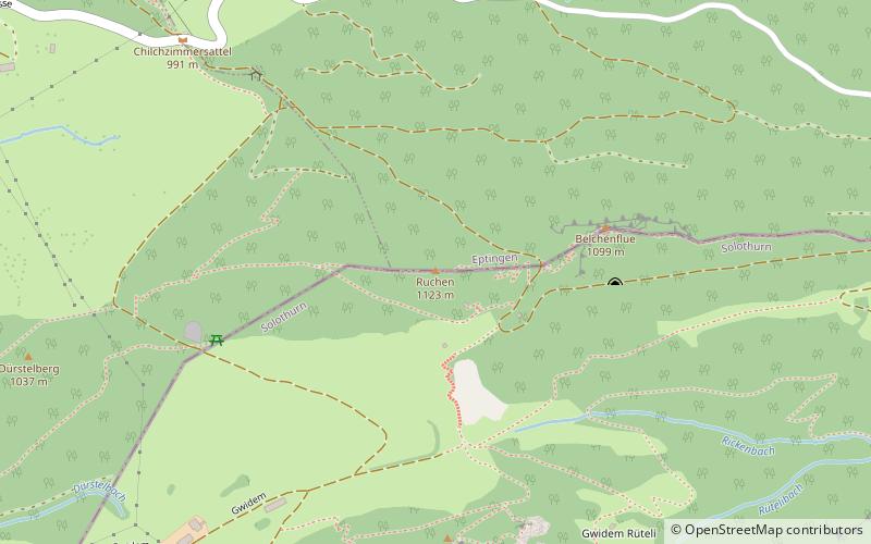
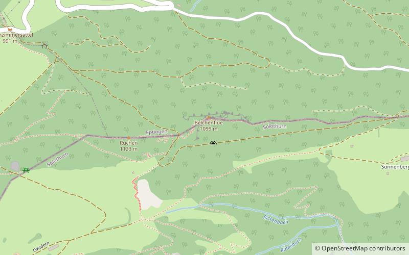
Belchenflue Pass

Gallery (1)
Map
Map
Facts and practical information
Belchenflue Pass is a mountain pass to use only by hikers in the Jura Mountains between the cantons of Basel-Country and Solothurn. Nearestby access by car is on the Chilchzimmersattel. Actually the pass does not have a distinct name. It is the signpost just nearby the dead-end hiking trail that has Belchenflue written on. ()
Maximum elevation: 3461 ftCoordinates: 47°21'45"N, 7°48'37"E
Location
Solothurn
ContactAdd
Social media
Add
Day trips