Sagentobelbachfall, Zurich
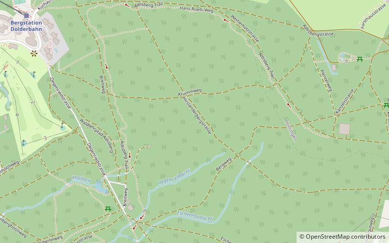
Map

Gallery

Facts and practical information
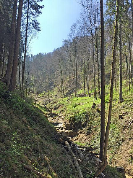
The Sagentobelbach is an approximately six-kilometer-long left tributary of the Glatt in the Swiss canton of Zurich. The stream flows through the deeply cut Sagentobel between Adlisberg and Zürichberg.
The stream and the ravine were named after a former sawmill in today's Klösterli field, which probably belonged to the monastery of St. Martin.
Address
Kreis 7 (Hottingen)Zurich
ContactAdd
Social media
Add
Day trips
Sagentobelbachfall – popular in the area (distance from the attraction)
Nearby attractions include: Zoo Zürich, Golf Adlisberg Driving Range, Fluntern Cemetery, Zürichberg.
Frequently Asked Questions (FAQ)
Which popular attractions are close to Sagentobelbachfall?
Nearby attractions include Zoo Zürich, Zurich (10 min walk), Fluntern Cemetery, Zurich (12 min walk), Hottingen, Zurich (19 min walk), Zürichberg, Zurich (20 min walk).
How to get to Sagentobelbachfall by public transport?
The nearest stations to Sagentobelbachfall:
Bus
Tram
Train
Trolleybus
Bus
- Tobelhof • Lines: 751 (4 min walk)
- Lewa Savanne • Lines: Masoala Express (7 min walk)
Tram
- Zoo • Lines: 5, 6 (15 min walk)
- Susenbergstrasse • Lines: 5, 6 (22 min walk)
Train
- Bergstation Dolderbahn (23 min walk)
- Waldhaus Dolder (27 min walk)
Trolleybus
- Toblerplatz • Lines: 33 (31 min walk)
- Kirche Fluntern • Lines: 33 (32 min walk)


