Amselflue
Map

Map

Facts and practical information
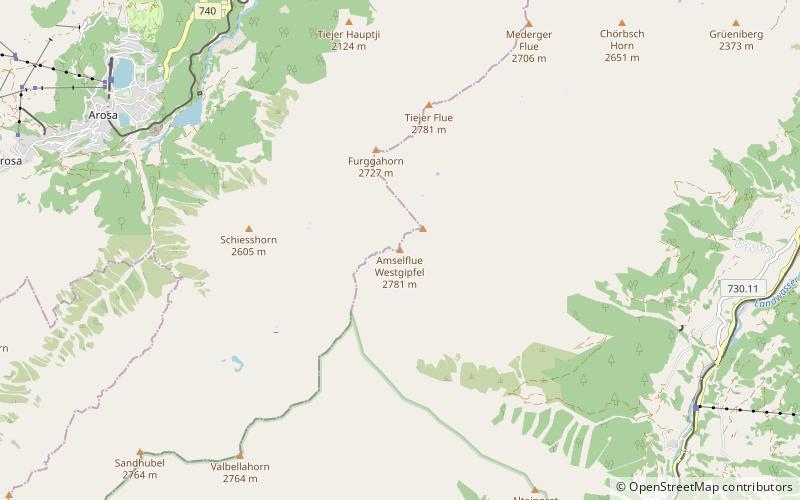
The Amselflue is a mountain of the Plessur Alps, overlooking Arosa in the canton of Graubünden. The main summit has an elevation of 2,781 metres, while the eastern summit, located directly above the Maienfelder Furgga, is 2,768 metre high. ()
Location
Graubünden
ContactAdd
Social media
Add
Day trips
Amselflue – popular in the area (distance from the attraction)
Nearby attractions include: Obersee, Aroser Weisshorn, Wiesen Viaduct, Langwieser Viaduct.


