Piz Blaisun
#925 among destinations in Switzerland
![Piz Blaisun location map](https://tzmedia.b-cdn.net/media/images/static-maps/ch/46_6032_9_86288.jpg)
Facts and practical information
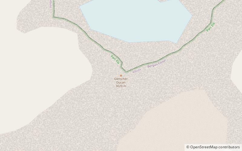
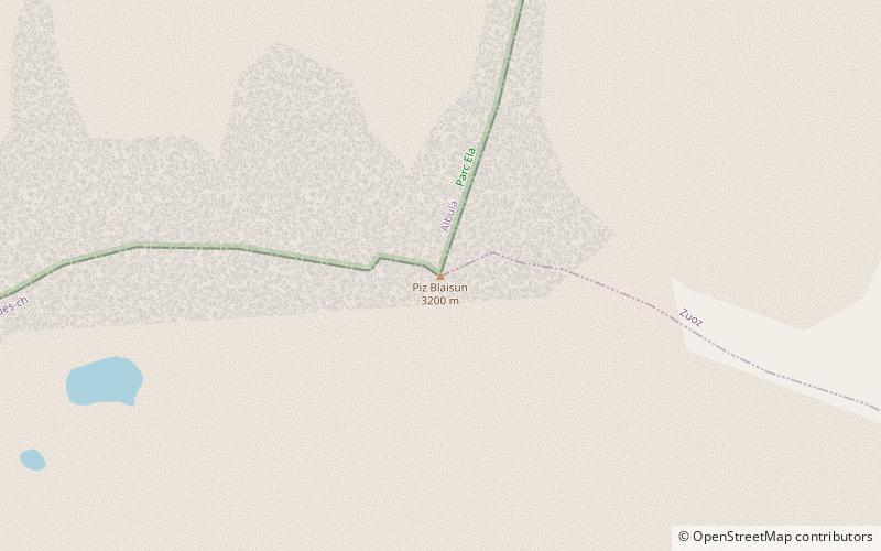
Piz Blaisun is a mountain of the Albula Alps, located north of the Albula Pass in the canton of Graubünden. Its summit is the tripoint between the Val Tuors, the Val d'Alvra and the Val d'Es-cha. ()
GraubündenSwitzerland
Piz Blaisun plan & book
Unleash the traveler in you — discover the cheapest flight deals, find the perfect hotel or hostel nearby, and search for the best car rental prices. Travel at your own pace to discover new places and enjoy your journey.
Piz Blaisun – popular in the area (distance from the attraction)
Nearby attractions include: Bergün, Lai da Palpuogna, Mineralbad & Spa, Piz Ot.
5.4 miWWinter sport, Ski areaBergün
139 min walk • Nestled in the picturesque Swiss Alps, Bergün is a charming village that transforms into a winter wonderland and a ski enthusiast's paradise during the colder months. This idyllic destination, known for its traditional wooden houses and breathtaking mountain scenery...
4 miSWNature, Natural attraction, LakeLai da Palpuogna
101 min walk • Nestled in the heart of the Swiss Alps, Lai da Palpuogna is a hidden gem that provides a serene escape from the hustle and bustle of modern life. This idyllic lake, located in the Canton of Grisons in Switzerland, is a tranquil haven for nature lovers and those seeking...
4.8 miS 4.8 miSWNature, Natural attraction, MountainPiz Ot
124 min walk • Piz Ot is a mountain of the Albula Alps, located west of Samedan in the canton of Graubünden. Reaching a height of 3,246 metres above sea level, it is the culminating point of the range lying north of the Pass Suvretta.
1.3 miNAlpine mountain with hiking trailsPiz Kesch
35 min walk • Piz Kesch or Piz d'Es-cha is a peak in the Albula Alps of the Rhaetian Alps in Switzerland. At 3,418 metres, it is the highest peak in the Albula Alps and the municipality of Bergün, Grisons. The first ascent was made 1846 by J. Coaz, J. Rascher, C. Casper and J. Tscharner.
4.3 miSENature, Natural attraction, LakeLej da Gravatscha, St. Moritz
111 min walk • Lej da Gravatscha is an artificial lake next to the Inn River near Bever in the Upper Engadin, Grisons, Switzerland.
4.6 miEForts and castlesPlanta Castle, Zuoz
118 min walk • The Planta Tower is a tower house in the center of the municipality of Zuoz in the Canton of Graubünden in Switzerland.
1.8 miNENatural featurePorchabella Glacier, Zuoz
47 min walk • The Porchabella Glacier is a 2.5 km long glacier situated in the Albula Range in the canton of Graubünden in Switzerland. In 1973 it had an area of 2.58 km². The glacier lies at the foot of Piz Kesch and Piz Val Müra. It gives birth to the river Ava da Salect which ends in the Albula.
5.2 miNMountainGletscher Ducan
133 min walk • The Gletscher Ducan is a mountain of the Albula Alps, located in Graubünden, Switzerland. On its northern side lies a glacier named Ducangletscher. It lies south-west of the Hoch Ducan.
0.9 miNNatural featureAlbula Alps, Zuoz
25 min walk • The Albula Alps are a mountain range in the Alps of eastern Switzerland. They are considered to be part of the Central Eastern Alps, more specifically the Western Rhaetian Alps. They are named after the river Albula.
3.6 miEForts and castlesGuardaval Castle
91 min walk • Guardaval Castle is a ruined castle in the municipality of Madulain of the Canton of Graubünden in Switzerland.