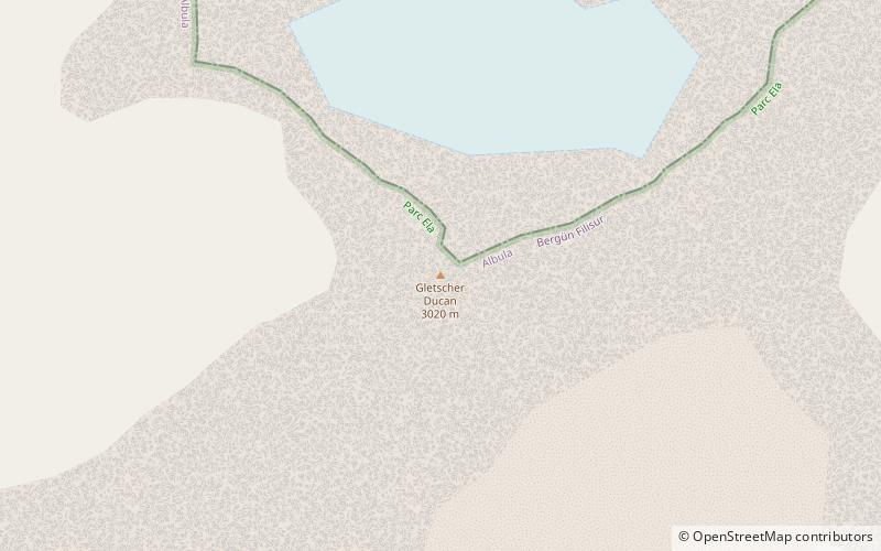
Gletscher Ducan
#597 among destinations in Switzerland

Facts and practical information
The Gletscher Ducan is a mountain of the Albula Alps, located in Graubünden, Switzerland. On its northern side lies a glacier named Ducangletscher. It lies south-west of the Hoch Ducan. ()
GraubündenSwitzerland
Gletscher Ducan – popular in the area (distance from the attraction)
Nearby attractions include: Bergün, Wiesen Viaduct, Schwarzhorn, Piz Kesch.
 Winter sport, Ski area
Bergün
141 min walk • Nestled in the picturesque Swiss Alps, Bergün is a charming village that transforms into a winter wonderland and a ski enthusiast's paradise during the colder months. This idyllic destination, known for its traditional wooden houses and breathtaking mountain scenery...
 Bridge
Wiesen Viaduct
146 min walk • The Wiesen Viaduct is a single-track railway viaduct, made from concrete blocks with dimension stone coverage. It spans the Landwasser southwest of the hamlet of Wiesen, in the canton of Grisons, Switzerland.
 Nature, Natural attraction, Mountain
Schwarzhorn
173 min walk • The Flüela Schwarzhorn is a mountain of the Albula Alps, overlooking the Flüela Pass, in the canton of Graubünden. With a height of 3,146 metres above sea level, it is the highest point of the Albula Alps north of the Fuorcla da Grialetsch.
 Alpine mountain with hiking trails
Piz Kesch
108 min walk • Piz Kesch or Piz d'Es-cha is a peak in the Albula Alps of the Rhaetian Alps in Switzerland. At 3,418 metres, it is the highest peak in the Albula Alps and the municipality of Bergün, Grisons. The first ascent was made 1846 by J. Coaz, J. Rascher, C. Casper and J. Tscharner.
 Natural feature
Porchabella Glacier, Zuoz
104 min walk • The Porchabella Glacier is a 2.5 km long glacier situated in the Albula Range in the canton of Graubünden in Switzerland. In 1973 it had an area of 2.58 km². The glacier lies at the foot of Piz Kesch and Piz Val Müra. It gives birth to the river Ava da Salect which ends in the Albula.
 Natural feature
Albula Alps, Zuoz
112 min walk • The Albula Alps are a mountain range in the Alps of eastern Switzerland. They are considered to be part of the Central Eastern Alps, more specifically the Western Rhaetian Alps. They are named after the river Albula.
 Nature, Natural attraction, Mountain
Älplihorn
64 min walk • The Älplihorn is a mountain of the Albula Alps, overlooking Monstein in the canton of Graubünden, Switzerland.
 Nature, Natural attraction, Mountain
Piz Blaisun
133 min walk • Piz Blaisun is a mountain of the Albula Alps, located north of the Albula Pass in the canton of Graubünden. Its summit is the tripoint between the Val Tuors, the Val d'Alvra and the Val d'Es-cha.
 Nature, Natural attraction, Mountain
Piz Üertsch
139 min walk • Piz Üertsch is a mountain of the Albula Alps, overlooking the Albula Pass, in the Swiss canton of Graubünden. It is located south-west of Piz Kesch.
 Museum
Bahnmuseum Albula
128 min walk • The Albula Railway Museum is located at the Bergün/Bravuogn railway station of the Albula Railway of the Swiss Rhaetian Railway. The museum is in operation since 2012. The museum tells the history of the construction of the Albula Railway and shows many historical plans and artifacts.
 Nature, Natural attraction, Valley
Sertig
93 min walk • The Sertig Valley is located in the municipality of Davos, south of the town, in the Swiss canton of Graubünden. It is a lateral valley of the Landwasser valley. The small village of Sertig Dörfli is accessible by road.