Trek Zone

Via Alpina

#403 among destinations in Switzerland

Hiking trail, Hiking
Via Alpina location map
Map

Facts and practical information

Alternative names: Coordinates: 46°26'16"N, 9°42'43"E
Location

GraubündenSwitzerland

ContactAdd
Social media
Add
Day trips

Via Alpina – popular in the area (distance from the attraction)

Nearby attractions include: Lake Sils, Lake Silvaplana, Lägh dal Lunghin, Piz Lunghin.

  • lake sils1.6 miSE
  • lake silvaplana3.8 miE
  • lagh dal lunghin2.3 miSW
  • piz lunghin2.7 miSW
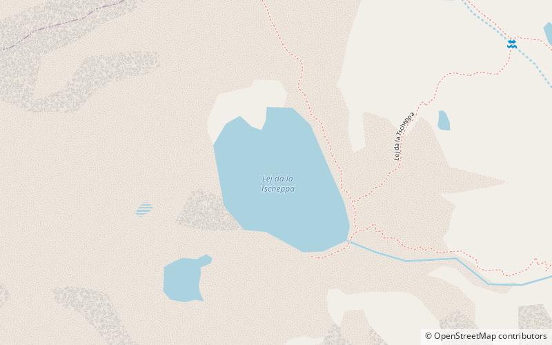
  • lej da la tscheppa location map
    2.1 miNE
  • val fex3 miSE
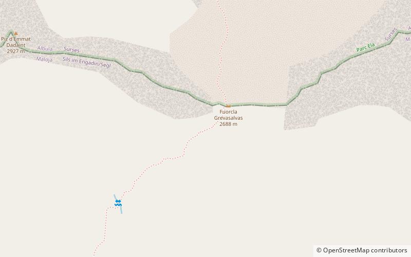
  • piz grevasalvas2.1 miSW
  • nietzsche haus2.6 miE
  • julier pass sils im engadin segl2.5 miN
  • lagh da bitabergh3.5 miS
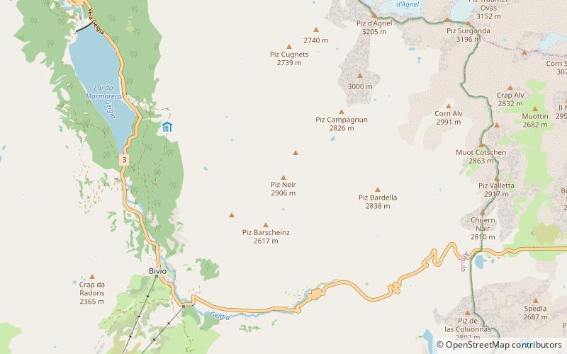
  • piz neir sils im engadin segl location map
    3.6 miNW

Where to next? Visit graubunden Graubünden region page or discover the top tourist attractions in Switzerland.