Hohgrat

Gallery (1)
Map
Map
Facts and practical information
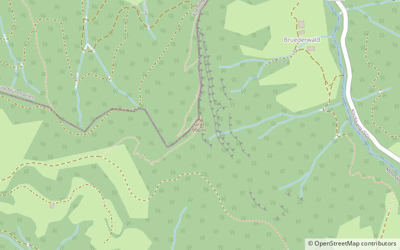
The Hohgrat is a mountain located on the border between the Swiss cantons of Thurgau and St. Gallen. Reaching a height of 996 metres above sea level, it is the highest point of the canton of Thurgau. ()
Location
Sankt Gallen
ContactAdd
Social media
Add
Day trips


