Ruchi
Map

Map

Facts and practical information
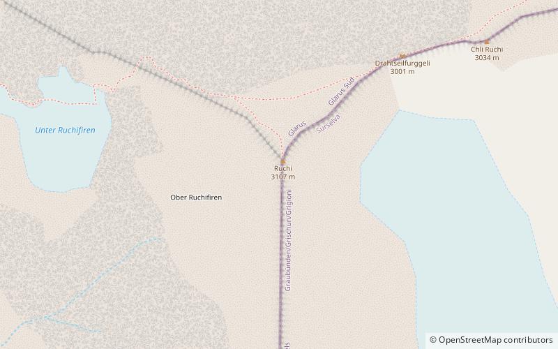
The Ruchi is a mountain in the Glarus Alps, located at an elevation of 3,107 m on the border between the Swiss cantons of Glarus and Graubünden. It overlooks the Muttsee on its west side from where a trail leads to the summit. On its south-east side lies a small glacier, the Glatscher da Gavirolas. The Ruchi is connected to the higher summit of the Hausstock on the north-east by a 2 km long ridge. ()
Location
Glarus
ContactAdd
Social media
Add
Day trips
Ruchi – popular in the area (distance from the attraction)
Nearby attractions include: Muttsee, Hausstock, Nüschenstock, Muttseehütte SAC.


