Hausstock
Map

Map

Facts and practical information
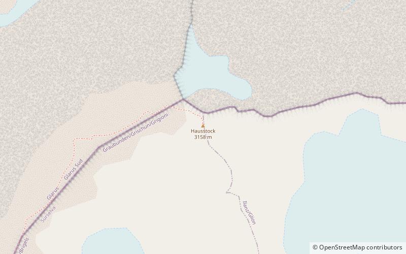
The Hausstock is a mountain in the Glarus Alps, at an elevation of 3,158 m on the border between the cantons of Glarus and Graubünden. It overlooks the valleys of Linth and Sernf rivers in Glarus, and the valley of the Vorderrhein river in Graubünden. The Hausstock was the site of the 1799 withdrawal of the Russian army under General Alexander Suvorov. A well-known destination already in the nineteenth century with British and American climbers, the mountain remains popular with mountain climbers and skiers. ()
Alternative names: First ascent: 1832Elevation: 10361 ftProminence: 2149 ftCoordinates: 46°52'28"N, 9°3'56"E
Location
Graubünden
ContactAdd
Social media
Add
Day trips
Hausstock – popular in the area (distance from the attraction)
Nearby attractions include: Vorab, Ortstock, Kärpf, Limmernsee.


