Chastelhorn

Gallery (1)
Map
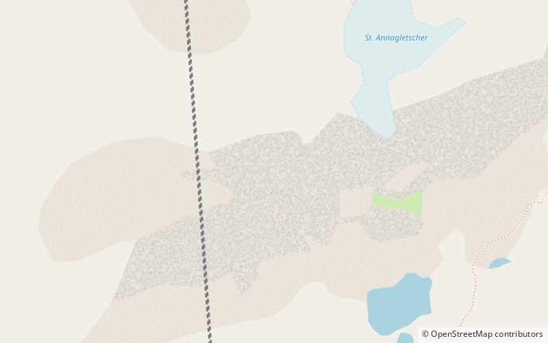
Map
Facts and practical information
The Chastelhorn is a 2,973 metres high mountain in the Lepontine Alps, overlooking Hospental in the canton of Uri. The northern flanks are covered by a glacier named St. Annafirn and a small lake lies south of the summit. ()
Location
Uri
ContactAdd
Social media
Add
Day trips