Mont de la Gouille
#1491 among destinations in Switzerland


Facts and practical information
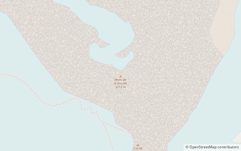
Mont de la Gouille is a mountain of the Swiss Pennine Alps, located south of Bourg-Saint-Pierre in the canton of Valais. It belong to the Mont Vélan massif. ()
ValaisSwitzerland
Mont de la Gouille – popular in the area (distance from the attraction)
Nearby attractions include: Great St Bernard Hospice, Grand Combin, Lac des Toules, Aiguille du Croissant.
 Sacred and religious sites, Church, Monastery
Great St Bernard Hospice, Bourg-Saint-Pierre
129 min walk • The Great St Bernard Hospice, named after Bernard of Menthon, is a hospice or hostel for travelers in southwestern Switzerland. At an elevation of 2,469 m at the Great St Bernard Pass in the Pennine Alps, the border with Italy is only a few hundred metres to the south.
 Nature, Natural attraction, Mountain
Grand Combin
72 min walk • The Grand Combin is a mountain massif in the western Pennine Alps in the canton of Valais. At a height of 4,314 metres the summit of Combin de Grafeneire is one of the highest peaks in the Alps and the second most prominent of the Pennine Alps.
 Nature, Natural attraction, Lake
Lac des Toules
78 min walk • Lac des Toules is a reservoir in Valais, Switzerland, at Bourg-Saint-Pierre. Its surface area is 0.61 km². It has a €2.2 million floating solar plant that was flown in by helicopter in 2019, and delivers 800 MWh/year.
 Nature, Natural attraction, Mountain
Aiguille du Croissant
78 min walk • The Aiguille du Croissant is a minor summit in the Grand Combin massif in the Pennine Alps, Switzerland. Because of its small prominence it was included in the enlarged list of alpine four-thousanders.
 Nature, Natural attraction, Mountain
Combin de Valsorey
66 min walk • The Combin de Valsorey is the second highest summit in the Grand Combin massif.
 Alpine hut, Hiking
Valsorey Hut
44 min walk • The Valsorey Hut is a mountain hut of the Swiss Alpine Club, located south of Bourg-Saint-Pierre in the canton of Valais. The hut lies at a height of 3,030 metres above sea level, on the southwestern slopes of the Grand Combin in the Pennine Alps, facing Mont Vélan.
 Nature, Natural attraction, Lake
Lac de Mauvoisin
170 min walk • Lac de Mauvoisin is a reservoir in the canton of Valais, Switzerland. The reservoir is formed by the Mauvoisin Dam, which is 250 metres high. The dam is currently the 11th highest in the world, and the 6th highest arch dam. It was built in 1951–1957, and raised by 13.5 metres in 1991.
 Nature, Natural attraction, Mountain pass
Great St Bernard Pass
129 min walk • The Great St Bernard Pass is the third highest road pass in Switzerland, at an elevation of 2,469 m. It connects Martigny in the canton of Valais in Switzerland with Aosta in the region Aosta Valley in Italy.
 Nature, Natural attraction, Mountain
Monts Telliers
142 min walk • Monts Telliers are a mountain with twin peaks in the Pennine Alps of Switzerland. It is relatively easy to reach from the Swiss side of the ascent towards the Great St.
 Nature, Natural attraction, Mountain
Crêta de Vella
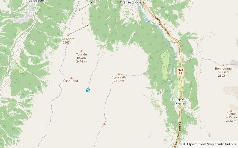
141 min walk • The Crêta de Vella is a mountain of the Swiss Pennine Alps, located south of Liddes in the canton of Valais. It lies at the northern end of the chain separating the Comba de l'A from the main valley of Entremont.
 Nature, Natural attraction, Mountain
Combin de Corbassière
127 min walk • The Combin de Corbassière is a mountain in the Pennine Alps, located south of Fionnay in the canton of Valais. It is part of the Grand Combin massif and lies on the west side of the Corbassière Glacier. It is also a main source for sparkling water.
