Aiguille du Croissant

Gallery (1)
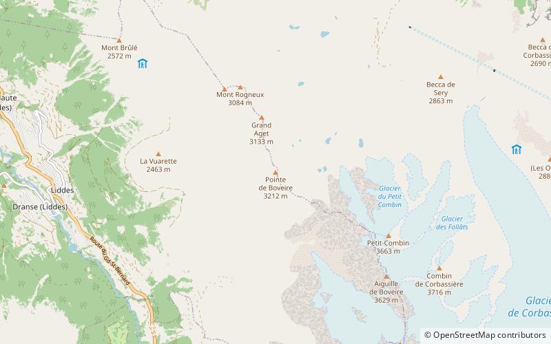
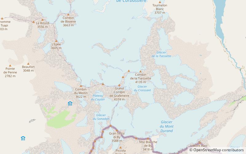
Map
Map
Facts and practical information
The Aiguille du Croissant is a minor summit in the Grand Combin massif in the Pennine Alps, Switzerland. Because of its small prominence it was included in the enlarged list of alpine four-thousanders. ()
Location
Valais
ContactAdd
Social media
Add
Day trips