Bättlihorn

Gallery (1)
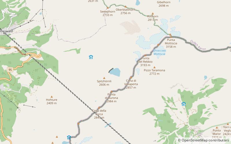
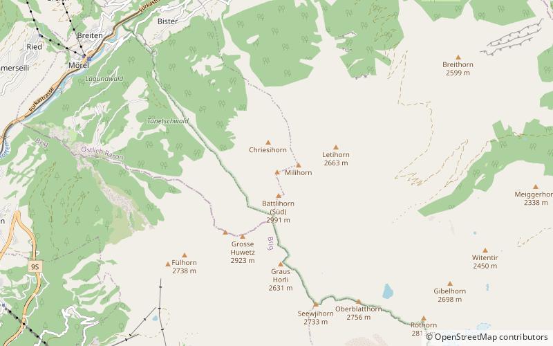
Map
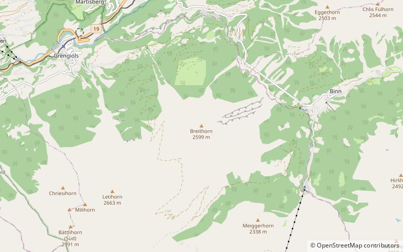
Map
Facts and practical information
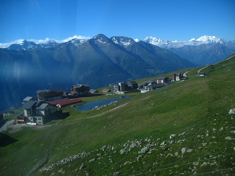
The Bättlihorn is a mountain of the Lepontine Alps, overlooking Mörel in the canton of Valais. It is composed of several summits. The southern summit is 2,992 metres high and the northern summit is 2,951 metres high. ()
Location
Valais
ContactAdd
Social media
Add
Day trips