Helsenhorn

Gallery (1)
Map
Map
Facts and practical information
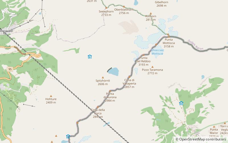
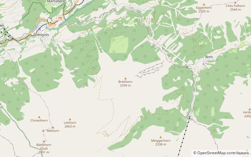
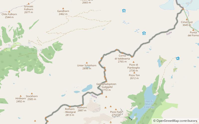
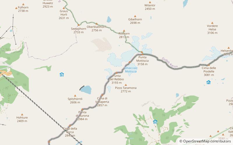
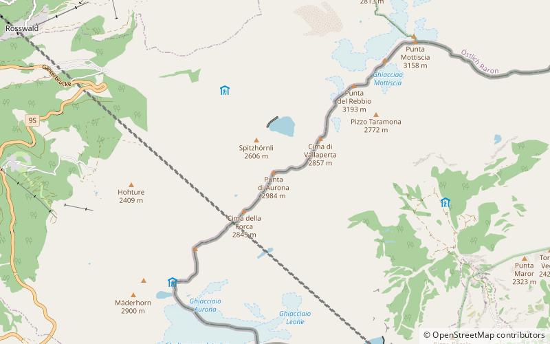
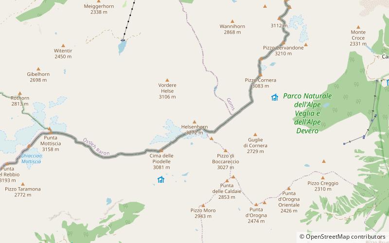
The Helsenhorn is a mountain of the Lepontine Alps, overlooking Binn in the Swiss canton of Valais. With a height of 3,272 metres above sea level, it is the highest summit of the Binntal. The border with Italy runs approximately 200 metres south-east of the summit and culminates at 3,247 metres. ()
Day trips