Planplatten
#380 among destinations in Switzerland
Facts and practical information
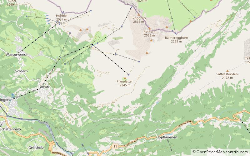
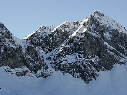
Planplatten is a mountain situated above Meiringen in the Bernese Oberland in Switzerland. In 1999 a panoramic restaurant has been built on the summit which is accessible by gondola lift. ()
BernSwitzerland
Planplatten – popular in the area (distance from the attraction)
Nearby attractions include: Aare Gorge, Reichenbach Falls, Oberhasli, Engstlensee.
 Nature, Natural attraction, Canyon
Aare Gorge, Meiringen
61 min walk • Nestled in the heart of the Swiss Alps, the Aare Gorge (Aareschlucht) is a breathtaking natural wonder located near Meiringen, in the municipality of Schattenhalb, Switzerland. Carved into the limestone by the untamed waters of the Aare River over thousands of years...
 Large waterfall with cable car rides
Reichenbach Falls, Meiringen
97 min walk • Nestled in the picturesque landscape of the Bernese Alps, the Reichenbach Falls is a natural wonder that draws visitors to the quaint town of Meiringen, Switzerland. This breathtaking waterfall, known for its sheer power and beauty, cascades down the rocks in a series...
 Valley
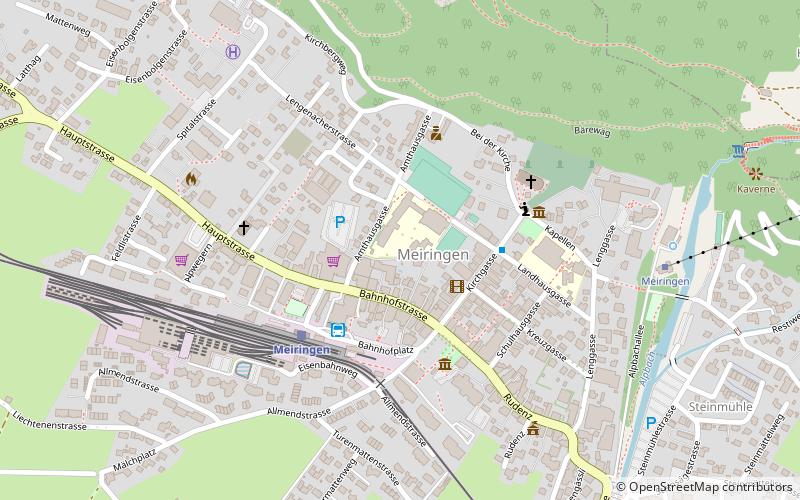
Oberhasli, Meiringen
85 min walk • The Oberhasli is a historical Landvogtei or Talschaft in the Bernese Highlands, Switzerland, bordering on the cantons of Obwalden, Nidwalden, Uri and Wallis.
 Nature, Natural attraction, Lake
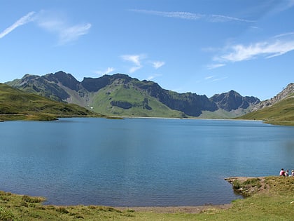
Engstlensee
139 min walk • Nestled in the Bernese Alps of Switzerland, Engstlensee is a serene mountain lake that captivates the hearts of nature enthusiasts and photographers alike. At an elevation of approximately 1,850 meters above sea level, this natural wonder is a hidden gem known for its...
 Bridge
Trift Bridge
144 min walk • Suspended amidst the Swiss Alps, the Trift Bridge holds the title of one of the most spectacular pedestrian suspension bridges within the heart of Switzerland. Towering at an impressive height of 100 meters and extending 170 meters across the Triftsee Lake, the bridge...
 Nature, Natural attraction, Lake
Tannensee
90 min walk • Tannensee is a reservoir in Obwalden, Switzerland. In 1958, Tannenbach and few other creeks were dammed with an earth-fill dam. The reservoir has a volume of 3.8 mio m³ and its surface area is 33 ha. The reservoir is used to generate electricity at Kraftwerk Hugschwendi in Kerns.
 Nature, Natural attraction, Lake
Triftsee
150 min walk • The Triftsee is a lake in the Urner Alps near Gadmen in the canton of Berne, Switzerland. It was formed recently by the melting of the lower part of Trift Glacier.
 Forts and castles
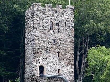
Restiturm, Meiringen
74 min walk • The Restiturm, or Burgruine Resti, is a ruined castle in the municipality of Meiringen in the Swiss canton of Bern. The original castle was built in the 13th century and has been rebuilt several times.
 Nature, Natural attraction, Mountain
Hochstollen
68 min walk • The Hochstollen is a mountain of the Urner Alps, located between the Klein Melchtal and the Melchtal in the canton of Obwalden. The border with the canton of Bern runs south of the summit. The closest locality is Melchsee-Frutt on its east side.
 Nature, Natural attraction, Lake
Melchsee
64 min walk • Melchsee is a lake in the canton of Obwalden, Switzerland. It lends its name to the resort Melchsee-Frutt, in the municipality of Kerns. At an elevation of 1891 m, its surface area is 54 ha.
