Amsoldingersee

Gallery (1)
Map
Map
Facts and practical information
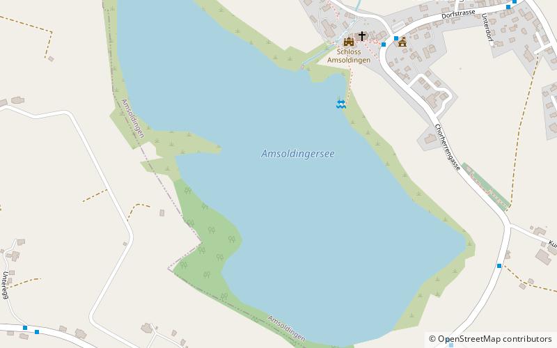
Amsoldingersee is small lake adjacent to the town of Amsoldingen, in the Upper Gürbetal. It is located near the city of Thun, Switzerland. The lake has a surface area of 38 hectares and a maximum length of 1.1 km and width of 500 m. The maximum depth is 14 m. It is fed by Rotmoos-Bach from the smaller Uebeschisee. ()
Alternative names: Area: 94.28 acres (0.1473 mi²)Length: 3609 ftWidth: 1640 ftMaximum depth: 46 ftElevation: 2103 ft a.s.l.Coordinates: 46°43'27"N, 7°34'35"E
Location
Bern
ContactAdd
Social media
Add
Day trips


