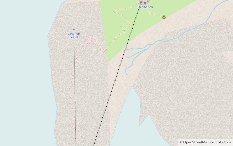
Längfluh
#405 among destinations in Switzerland

Facts and practical information
The Längfluh is a rocky outcrop of the Pennine Alps, dividing the Fee Glacier above Saas Fee in the canton of Valais. ()
ValaisSwitzerland
Längfluh plan & book
Unleash the traveler in you — discover the cheapest flight deals, find the perfect hotel or hostel nearby, and search for the best car rental prices. Travel at your own pace to discover new places and enjoy your journey.
Längfluh – popular in the area (distance from the attraction)
Nearby attractions include: Dom Mountain, Britannia Hut, Allalinhorn, Alphubel.
 Pennine peak first climbed in 1858
Dom Mountain
49 min walk • Dom Mountain, rising majestically in the Swiss Alps, is a breathtaking natural wonder that commands respect and admiration. At 4,545 meters, it is the highest mountain situated entirely within Switzerland and the third highest in the Alps.
 Alpine hut, Hiking
Britannia Hut
68 min walk • Nestled amidst the awe-inspiring peaks of the Swiss Alps, the Britannia Hut stands as a beacon for mountaineers and hikers traversing the vast alpine wilderness. This storied alpine hut, located at an elevation of 3,030 meters, is a popular base for those attempting...
 4000m Alps peak with a moderate ascent
Allalinhorn
75 min walk • The Allalinhorn is a mountain in the Pennine Alps in Switzerland. It lies between Zermatt and Saas-Fee in the canton of Valais, and is part of the Mischabel range, which culminates at the Dom.
 Nature, Natural attraction, Mountain
Alphubel
61 min walk • The Alphubel is a mountain of the Swiss Pennine Alps, located between the valleys of Zermatt and Saas in the canton of Valais. It is part of the Allalin Group, a subgroup of the Mischabel Group, which culminates at the Dom.
 Nature, Natural attraction, Mountain
Nadelhorn
55 min walk • The Nadelhorn is a mountain in the Pennine Alps in Switzerland. It is the highest point on the Nadelgrat, a high-level ridge running roughly north–south above the resort of Saas-Fee to the east, and the Mattertal to the west.
 Nature, Natural attraction, Mountain
Feechopf
73 min walk • The Feechopf is a mountain of the Swiss Pennine Alps, located near Saas Fee in the canton of Valais. It lies between the Alphubel and the Allalinhorn.
 Nature, Natural attraction, Mountain
Lenzspitze
46 min walk • The Lenzspitze is a 4,294-metre mountain in the Pennine Alps in Switzerland. It is the southernmost peak on the Nadelgrat, a high-level ridge running roughly north–south, north of Dom in the Mischabel range, above the resort of Saas Fee to the east, and the Mattertal to the west.
 Alpine hut, Hiking
Mischabel Hut
39 min walk • The Mischabel Hut is a mountain hut of the Academic Alpine Club of Zurich, located west of Saas Fee in the canton of Valais. It lies at a height of 3,340 metres above sea level near the Hohbalmgletscher glacier, on the eastern flanks of the Dom and the Lenzspitze in the Mischabel group.
 Nature, Natural attraction, Mountain
Täschhorn
51 min walk • The Täschhorn is a mountain in the Pennine Alps in Switzerland, lying south of the Dom within the Mischabel range. The first ascent of the mountain was by John Llewelyn Davies and J. W.
 Nature, Natural attraction, Mountain
Ulrichshorn
58 min walk • The Ulrichshorn is a mountain of the Swiss Pennine Alps, overlooking Saas-Fee in the canton of Valais. It is located north of the Nadelhorn, in the Mischabel range, which lies between the Mattertal and the Saastal.
 Nature, Natural attraction, Mountain
Felskinn
27 min walk • Felskinn is a rocky outcrop of the Pennine Alps, situated above Saas Fee in the canton of Valais. Felskinn is the lower station of the Metro Alpin which gives access to the Mittelallalin.


