Wellenkuppe

Gallery (1)
Map
Map
Facts and practical information
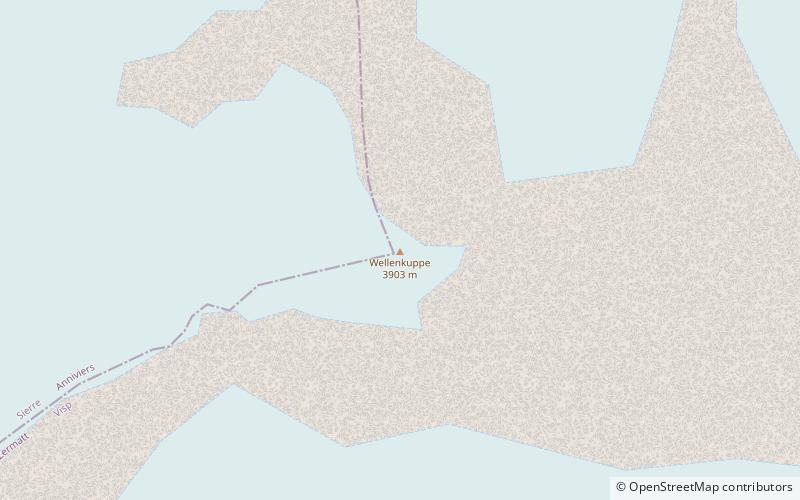
The Wellenkuppe is a mountain of the Swiss Pennine Alps, located west of Zermatt in the canton of Valais. It lies on the range separating the Val d'Anniviers from the Mattertal, just east of the Ober Gabelhorn. ()
Location
Valais
ContactAdd
Social media
Add
Day trips


