Säntis
#131 among destinations in Switzerland


Facts and practical information
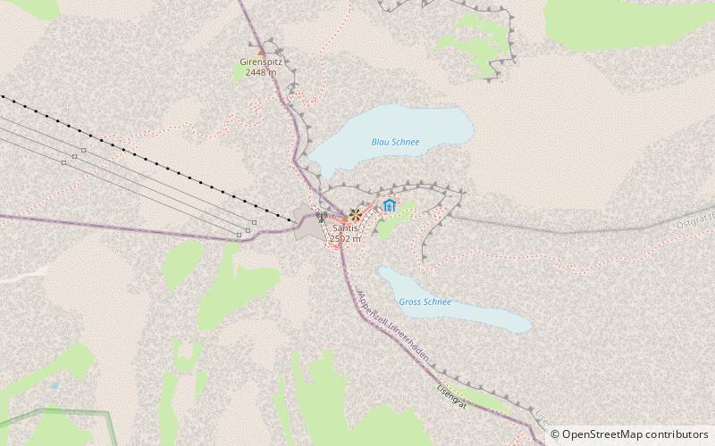
The Säntis transmitter is a 123.5 m high transmitting station on the summit of the 2,502 m high Säntis mountain in Switzerland. It is operated by Swisscom. ()
Dorfplatz 16Urnäsch 9107 Appenzell InnerrhodenSwitzerland
Säntis – popular in the area (distance from the attraction)
Nearby attractions include: Seealpsee, Säntis, Thur waterfalls, Schwendisee.
 Nature, Natural attraction, Lake
Seealpsee
77 min walk • Nestled in the heart of the Swiss Alps, Seealpsee is a serene mountain lake that epitomizes the idyllic beauty of Switzerland's landscape. Located in the canton of Appenzell Innerrhoden, this tranquil body of water sits at an elevation of 1,143 meters, offering...
 Nature, Natural attraction, Mountain
Säntis
18 min walk • Rising majestically above the Alpstein massif, Säntis stands as a prominent landmark in the Eastern Alps of Switzerland. At an impressive height of 2,502 meters, it is the highest mountain in the Alpstein range and offers breathtaking panoramic views that sweep across...
 Nature, Natural attraction, Waterfall
Thur waterfalls, Walenstadt
91 min walk • The Thur waterfalls are two cascades located on the river Thur approximately ten minutes walking from the village square of Unterwasser in the canton of St. Gallen, Switzerland, The water cascades down from steep rock faces, and on highest point drops from 23 metres.
 Nature, Natural attraction, Lake
Schwendisee
111 min walk • Nestled in the picturesque landscape of Eastern Switzerland, Schwendisee is a serene mountain lake that epitomizes the tranquil beauty of the Swiss Toggenburg region. This hidden gem, less frequented by the tourist crowds, offers a peaceful retreat amidst nature's...
 Archaeological site
Wildkirchli
97 min walk • Nestled within the rugged Alpstein massif of Switzerland lies the Wildkirchli, an archaeological site that transports visitors back to the early chapters of human history. This prehistoric site is composed of three caves, which served as a sanctuary for hermits and a...
 Nature, Natural attraction, Lake
Fälensee
89 min walk • Fälensee is a lake in the Alpstein range of the canton of Appenzell Innerrhoden, Switzerland. At an elevation of 1446 m, the surface area is 0.12 km². It is located in a narrow valley between Hundsteingrat and Roslen-Saxer First.
 Nature, Natural attraction, Mountain
Altmann Mountain
38 min walk • The Altmann is a mountain in the Appenzell Alps, located on the border between the cantons of Appenzell Innerrhoden and St. Gallen. It is situated in the massif of the Alpstein north of Wildhaus, a few kilometres from the Säntis.
 Nature, Natural attraction, Mountain
Altenalp Türm
57 min walk • The Altenalp Türm is a peak of the Alpstein massif, located in the canton of Appenzell Innerrhoden, on the ridge between Ebenalp and the Säntis. It is the northernmost peak rising above 2,000 metres in Switzerland.
 Nature, Natural attraction, Mountain
Wildhuser Schafberg
37 min walk • The Wildhuser Schafberg is a mountain of the Appenzell Alps, overlooking Wildhaus in the canton of St. Gallen. It is situated in the massif of the Alpstein, on the range west of the Altmann.
 Nature, Natural attraction, Mountain
Hundstein
71 min walk • The Hundstein is a mountain in the Alpstein massif of the Appenzell Alps, located south of Schwende in the canton of Appenzell Innerrhoden. It lies on the range east of the Altmann, between the valleys of the Seealpsee and the Fälensee.
 Nature, Natural attraction, Mountain
Marwees
76 min walk • The Marwees is a mountain in the Alpstein massif of the Appenzell Alps, located south of Schwende in the canton of Appenzell Innerrhoden. It lies on the range east of the Altmann, between the valleys of the Seealpsee and the Sämtisersee.
