Unteraargletscher
Map

Map

Facts and practical information
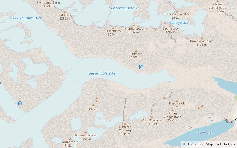
The Unteraargletscher, literally "Lower Aare-Glacier", is the larger of the two sources of the Aare river in the Bernese Alps. It emerges from the association of the Finsteraargletscher and the Lauteraargletscher and flows for about 6 km to the east down to the Grimselsee near the Grimsel Pass. In total the glacier was 12.95 km long and 29.48 km2 in area in 1973. Its lower end is almost 400 metres lower than that of the neighbouring Oberaargletscher. ()
Location
Bern
ContactAdd
Social media
Add
Day trips
Unteraargletscher – popular in the area (distance from the attraction)
Nearby attractions include: Oberaarhorn, Oberaarsee, Lauteraar Hut, Brünberg.


