Dürrenhorn

Gallery (1)
Map
Map
Facts and practical information
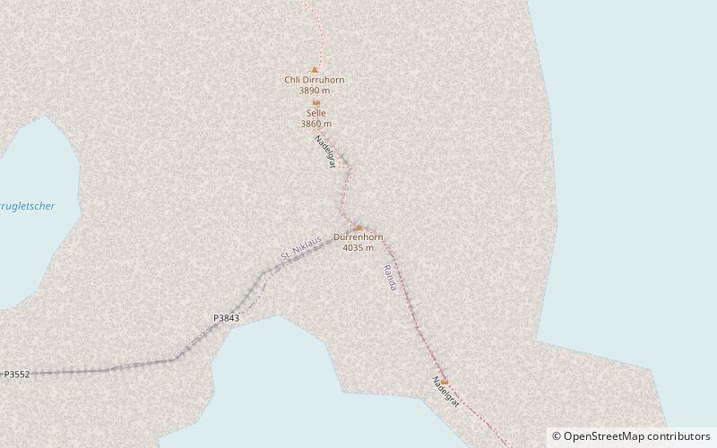
The Dürrenhorn is a summit in the Pennine Alps in Switzerland. It lies towards the northern end of the Nadelgrat, a high-level ridge running roughly north–south above the resort of Saas-Fee to the east, and the Mattertal to the west. It is part of the Mischabel range, which culminates at the Dom. ()
Alternative names: First ascent: 1879Elevation: 13238 ftProminence: 404 ftCoordinates: 46°7'11"N, 7°50'54"E
Location
Valais
ContactAdd
Social media
Add
Day trips


