Pointe du Tsaté

Map
Facts and practical information
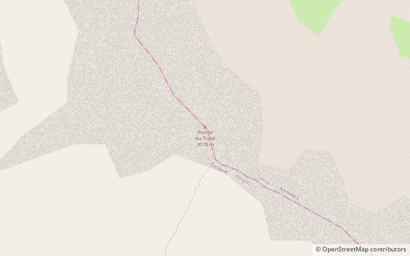
The Pointe du Tsaté is a mountain of the Swiss Pennine Alps, overlooking Les Haudères in the canton of Valais. It lies between the valleys of Hérens and Moiry. On its east side is the lake of Moiry. ()
Elevation: 10098 ftProminence: 531 ftCoordinates: 46°6'33"N, 7°32'57"E
Location
Valais
ContactAdd
Social media
Add
Day trips
Pointe du Tsaté – popular in the area (distance from the attraction)
Nearby attractions include: Zinal, Lac de Moiry, Becs de Bosson, Corne de Sorebois.


