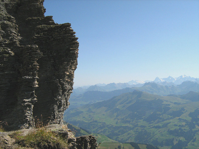
Gsür

Gallery (2)
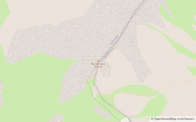
Map
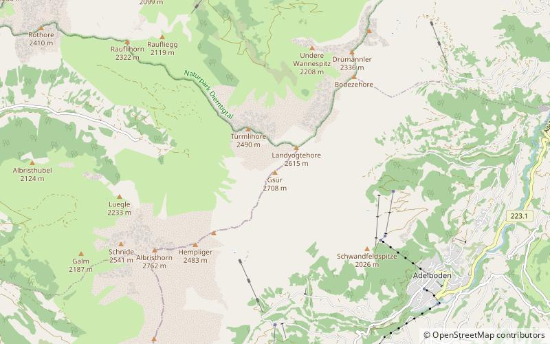
Map
Gallery
Facts and practical information
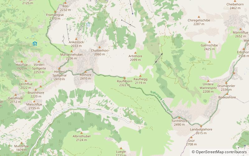
The Gsür is a mountain in the Bernese Alps at the very southeastern end of the Diemtigtal and rising above Adelboden in the Entschligetal in the canton of canton of Bern. ()
Location
Bern
ContactAdd
Social media
Add
Day trips