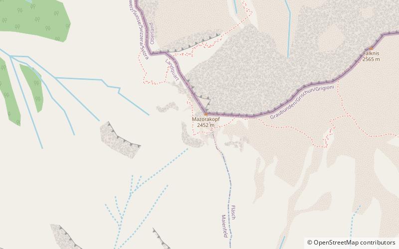
Mazorakopf
#891 among destinations in Switzerland
![Mazorakopf location map](https://tzmedia.b-cdn.net/media/images/static-maps/ch/47_0482_9_55664.jpg)
Facts and practical information
Mazorakopf or Falknishorn is a mountain on the border between Switzerland and Liechtenstein. It is the southernmost point of the principality of Liechtenstein. ()
GraubündenSwitzerland
Mazorakopf – popular in the area (distance from the attraction)
Nearby attractions include: Bad Ragaz, Brandis Castle, Neu-Aspermont Castle, Vilan.
4.1 miSWWinter sport, Ski areaBad Ragaz
105 min walk • Nestled in the heart of the Swiss Alps, Bad Ragaz is a serene ski area renowned for its breathtaking scenery and world-class winter sports facilities. This idyllic resort town, situated in the St. Gallen canton, offers a blend of luxury and adventure for skiers...
3.1 miSForts and castlesBrandis Castle, Maienfeld
80 min walk • Brandis Castle or Maienfeld Castle is a castle in the municipality of Maienfeld of the Canton of Graubünden in Switzerland. It is a Swiss heritage site of national significance.
3.1 miSForts and castlesNeu-Aspermont Castle, Jenins
81 min walk • Neu-Aspermont Castle is a ruined castle in the municipality of Jenins of the Canton of Graubünden in Switzerland. It is a Swiss heritage site of national significance.
3.3 miSENatural attraction, Park, TrailVilan, Malans
84 min walk • The Vilan is a mountain in the Rätikon range of the Alps, located north of Malans in the canton of Graubünden. It lies south of the Falknis, between the main Rhine valley and the Taschinas valley.
1.2 miENature, Natural attraction, MountainGrauspitz
31 min walk • The Grauspitz is a mountain in the Rätikon range of the Alps, located on the border between Liechtenstein and Switzerland. With an elevation of 2,599 metres above sea level, the Grauspitz is the highest mountain in Liechtenstein. It is also the highest summit of the Rätikon range west of the Schesaplana massif.
2.9 miSWForts and castlesSalenegg Castle, Maienfeld
75 min walk • Salenegg Castle is a castle in the municipality of Maienfeld of the Canton of Graubünden in Switzerland. It is a Swiss heritage site of national significance.
4.1 miSWForts and castlesFreudenberg Castle
104 min walk • Freudenberg Castle is a castle in the municipality of Bad Ragaz of the Canton of St. Gallen in Switzerland. It is a Swiss heritage site of national significance.
3.9 miSForts and castlesKlingenhorn Castle
99 min walk • Klingenhorn Castle is a ruined castle in the municipality of Malans of the Canton of Graubünden in Switzerland.
2.5 miENature, Natural attraction, MountainNaafkopf
65 min walk • The Naafkopf is a mountain in the Rätikon range of the Alps, located at the border between Austria, Liechtenstein and Switzerland.
0.4 miNENature, Natural attraction, MountainFalknis
10 min walk • The Falknis is a mountain in the Rätikon range of the Alps, located on the border between Liechtenstein and Switzerland. It is 8406 ft. at its highest peak. The nearest locality is Balzers.
2.5 miWNature, Natural attraction, MountainFläscherberg
64 min walk • The Fläscherberg is a mountain of the Rätikon, overlooking the Rhine in the Swiss canton of Graubünden. The closest locality is Fläsch on the southern side of the mountain. At the northern foot of the mountain is the boder with Liechtenstein, and the town of Balzers.