Naafkopf

Gallery (1)
Map
Map
Facts and practical information
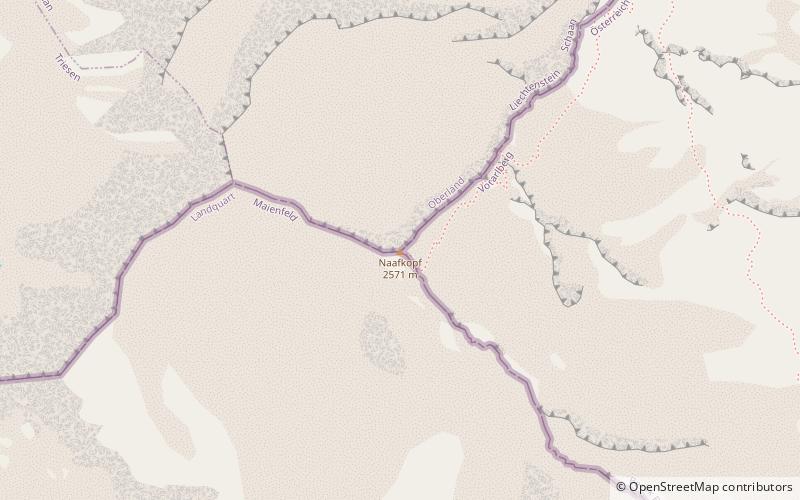
The Naafkopf is a mountain in the Rätikon range of the Alps, located at the border between Austria, Liechtenstein and Switzerland. ()
Location
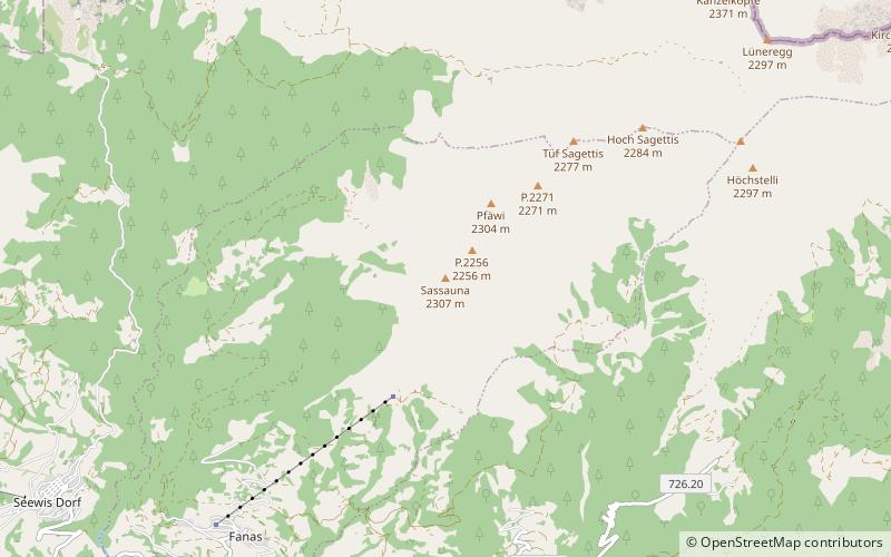
Graubünden
ContactAdd
Social media
Add
Day trips