Lägh dal Lunghin

Gallery (1)
Map
Map
Facts and practical information
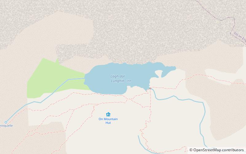
Lägh dal Lunghin is a lake at an elevation of 2484 m, below the peak of Piz Lunghin, in the Graubünden, Switzerland. It is considered the source of the Inn River. ()
Local name: Lunghinsee Area: 12.77 acres (0.02 mi²)Average depth: 30 ftElevation: 8150 ft a.s.l.Coordinates: 46°25'3"N, 9°40'29"E
Location
Graubünden
ContactAdd
Social media
Add
Day trips


