Piz Üertsch
#994 among destinations in Switzerland


Facts and practical information
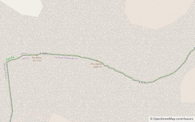
Piz Üertsch is a mountain of the Albula Alps, overlooking the Albula Pass, in the Swiss canton of Graubünden. It is located south-west of Piz Kesch. ()
GraubündenSwitzerland
Piz Üertsch – popular in the area (distance from the attraction)
Nearby attractions include: Celerina/Schlarigna, Bergün, Lai da Palpuogna, Mineralbad & Spa.
 Winter sport, Ski area
Celerina/Schlarigna, St. Moritz
145 min walk • Nestled in the heart of the Swiss Alps, Celerina/Schlarigna is a hidden gem located near the glamorous city of St. Moritz. Renowned for its enchanting ski area, this quaint village offers a serene escape into a winter wonderland, providing a more intimate alternative...
 Winter sport, Ski area
Bergün
111 min walk • Nestled in the picturesque Swiss Alps, Bergün is a charming village that transforms into a winter wonderland and a ski enthusiast's paradise during the colder months. This idyllic destination, known for its traditional wooden houses and breathtaking mountain scenery...
 Nature, Natural attraction, Lake
Lai da Palpuogna
67 min walk • Nestled in the heart of the Swiss Alps, Lai da Palpuogna is a hidden gem that provides a serene escape from the hustle and bustle of modern life. This idyllic lake, located in the Canton of Grisons in Switzerland, is a tranquil haven for nature lovers and those seeking...

 Summit with a restaurant and viewpoints
Muottas Muragl, Samedan
154 min walk • Muottas Muragl is a location on the southern slopes of the Blais da Muottas, a summit at the western end of the range descending from Piz Vadret, in the Swiss canton of Graubünden. It overlooks the Engadin, between the towns of Samedan, St. Moritz and Pontresina. The mountain is within the municipality of Samedan.
 Nature, Natural attraction, Mountain
Piz Ot
99 min walk • Piz Ot is a mountain of the Albula Alps, located west of Samedan in the canton of Graubünden. Reaching a height of 3,246 metres above sea level, it is the culminating point of the range lying north of the Pass Suvretta.
 Alpine mountain with hiking trails
Piz Kesch
63 min walk • Piz Kesch or Piz d'Es-cha is a peak in the Albula Alps of the Rhaetian Alps in Switzerland. At 3,418 metres, it is the highest peak in the Albula Alps and the municipality of Bergün, Grisons. The first ascent was made 1846 by J. Coaz, J. Rascher, C. Casper and J. Tscharner.
 Nature, Natural attraction, Lake
Lej da Gravatscha, St. Moritz
118 min walk • Lej da Gravatscha is an artificial lake next to the Inn River near Bever in the Upper Engadin, Grisons, Switzerland.
 Natural feature
Porchabella Glacier, Zuoz
76 min walk • The Porchabella Glacier is a 2.5 km long glacier situated in the Albula Range in the canton of Graubünden in Switzerland. In 1973 it had an area of 2.58 km². The glacier lies at the foot of Piz Kesch and Piz Val Müra. It gives birth to the river Ava da Salect which ends in the Albula.
 Mountain
Gletscher Ducan
139 min walk • The Gletscher Ducan is a mountain of the Albula Alps, located in Graubünden, Switzerland. On its northern side lies a glacier named Ducangletscher. It lies south-west of the Hoch Ducan.
 Natural feature
Albula Alps, Zuoz
52 min walk • The Albula Alps are a mountain range in the Alps of eastern Switzerland. They are considered to be part of the Central Eastern Alps, more specifically the Western Rhaetian Alps. They are named after the river Albula.
