Seewlisee
#936 among destinations in Switzerland
Facts and practical information
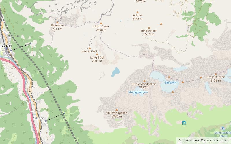
Seewlisee is a lake in Uri, Switzerland at an elevation of 2028 m. Its surface area is 9 ha. The lake lies at the foot of the Gross Windgällen. ()
UriSwitzerland
Seewlisee – popular in the area (distance from the attraction)
Nearby attractions include: Golzerensee, Gross Windgällen, Oberalpstock, Arnisee.
2.7 miSENature, Natural attraction, LakeGolzerensee
69 min walk • Golzerensee is a lake at Golzeren in the Canton of Uri, Switzerland. Its surface area is 5.7 ha. Golzeren is located in the Maderanertal and can be reached by cable car from Bristen. The lake is a popular fishing location. Species include brown trout, rainbow trout, and perch.
0.8 miENature, Natural attraction, MountainGross Windgällen
22 min walk • The Gross Windgällen is a 3,187 m high mountain in the Glarus Alps, overlooking the valley of the Reuss in the canton of Uri. The name Gross Windgällen derives from Gälle or gellen, meaning as much as wailing, shrilling or whistling.
5.4 miSENature, Natural attraction, MountainOberalpstock
137 min walk • The Oberalpstock or Piz Tgietschen is a mountain in the Glarus Alps between the cantons of Uri and Graubünden. Its massif separates the valleys of Maderanertal and Surselva near Sedrun.
4.5 miSWNature, Natural attraction, LakeArnisee
116 min walk • Arnisee is a reservoir in the Canton of Uri, Switzerland. It can be reached by gondola lift from Amsteg and Intschi.
2.2 miNWNature, Natural attraction, MountainBälmeten
55 min walk • The Bälmeten is a mountain of the Glarus Alps, overlooking Erstfeld in the canton of Uri. It lies west of the Hoch Fulen, in the group north-west of the Gross Windgällen.
3.3 miSWForts and castlesZwing Uri Castle
84 min walk • Zwing Uri is a ruined medieval castle north of Amsteg, today in the territory of the municipality of Silenen in the canton of Uri in Switzerland. It is a Swiss heritage site of national significance.
5.4 miNWForts and castlesAttinghausen Castle, Attinghausen
137 min walk • Attinghausen Castle is a ruined medieval castle in the municipality of Attinghausen in the canton of Uri in Switzerland. It is a Swiss heritage site of national significance.
5.4 miSNature, Natural attraction, MountainBristen
137 min walk • The Bristen is a mountain in the Glarus Alps, overlooking the valley of the Reuss and located to the south of Amsteg in the canton of Uri, Switzerland. The mountain is located about four kilometres north of Piz Giuv and the border with Graubünden. The Bristen is considered one of the main landmarks of the Canton of Uri.
3 miSWForts and castlesMeierturm
76 min walk • Meierturm is a medieval tower in the municipality of Silenen in the canton of Uri in Switzerland. It is a Swiss heritage site of national significance.
3 miSENature, Natural attraction, ValleyMaderanertal
78 min walk • The Maderanertal is an Alpine valley of the canton of Uri in Central Switzerland. It is drained by the Chärstelenbach, a stream that is a right tributary of the Reuss at Amsteg.
2.8 miENature, Natural attraction, MountainGross Ruchen
72 min walk • The Gross Ruchen is a mountain in the Glarus Alps, overlooking the Brunnital south of Unterschächen in the canton of Uri. It is located between the higher Gross Windgallen on the west and the Chli Ruchen on the east.