Gross Windgällen

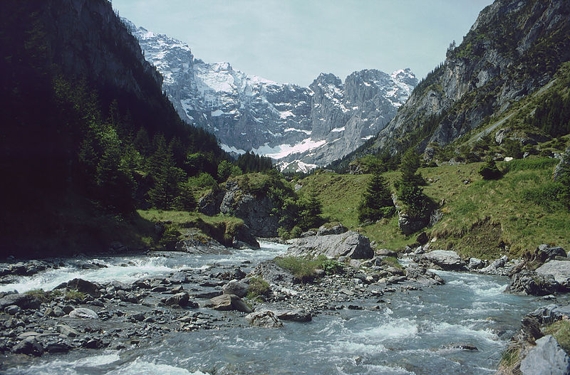
Gallery (2)
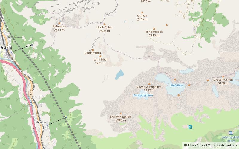
Map
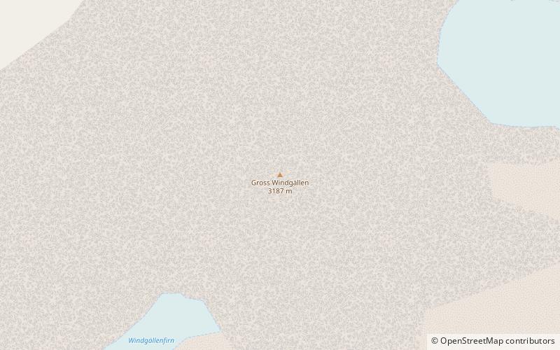
Map
Gallery
Facts and practical information
The Gross Windgällen is a 3,187 m high mountain in the Glarus Alps, overlooking the valley of the Reuss in the canton of Uri. The name Gross Windgällen derives from Gälle or gellen, meaning as much as wailing, shrilling or whistling. ()
Location
Uri
ContactAdd
Social media
Add
Day trips