Val Curciusa
#1265 among destinations in Switzerland

Facts and practical information
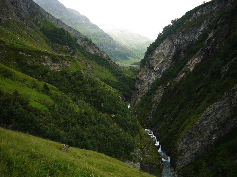
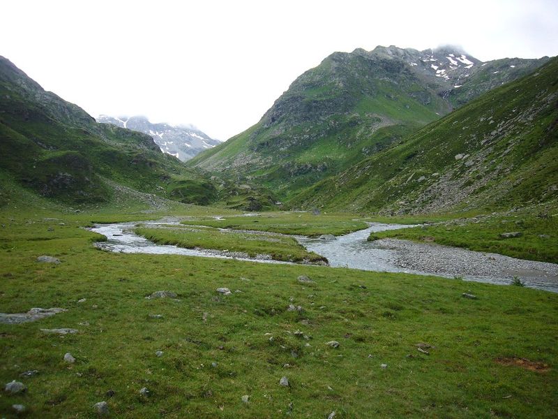
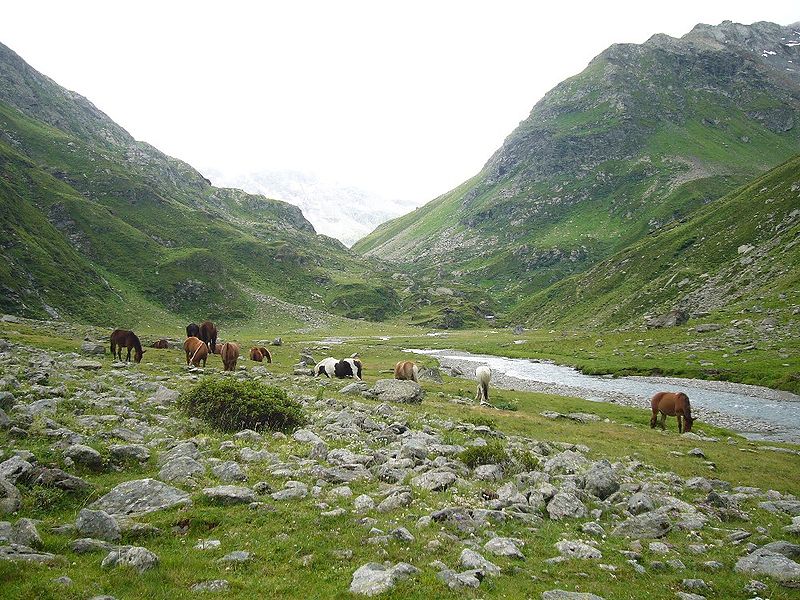
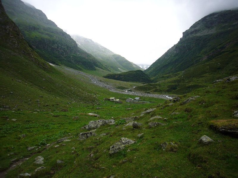
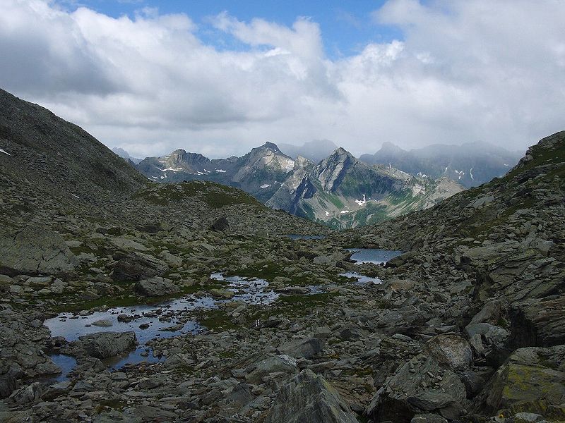
The Val Curciusa is an alpine valley in Graubünden, Switzerland. In the region of the San Bernardino Pass, it provides a connection between the Rheinwald valley and the Misox valley. ()
GraubündenSwitzerland
Val Curciusa – popular in the area (distance from the attraction)
Nearby attractions include: Lagh Doss, Lago d'Isola, Sufnersee, Splügen Castle.
 Nature, Natural attraction, Lake
Lagh Doss
119 min walk • Lagh Doss is a lake at San Bernardino in the Val Mesolcina of the Grisons, Switzerland. It is located at an elevation of 1652 m. The site is listed in the Federal Inventory of Raised and Transitional Bogs of National Importance.
 Nature, Natural attraction, Lake
Lago d'Isola
130 min walk • Lago d'Isola is a reservoir at San Bernardino, Grisons, Switzerland. The reservoir's surface area is 39 ha.
 Nature, Natural attraction, Lake
Sufnersee
171 min walk • Sufnersee is a reservoir between Splügen and Sufers on the Hinterrhein river in the Grisons, Switzerland. The dam Sufers was built 1962. The reservoir has a volume of 17.5 million m³ and its surface area is 0.90 km².
 Forts and castles
Splügen Castle
129 min walk • The ruins of the former Splügen Castle lie east of the village of Splügen in the Rheinwald forest in the Swiss canton of Graubünden. It is the only castle in the valley.
 Nature, Natural attraction, Lake
Amperveilsee
176 min walk • Amperveilsee is a lake above Vals in the canton of Grisons, Switzerland. A popular hike starts at Zervreila, passes the three remote lakes Guraletschsee, Amperveilsee and Selvasee and descends via Selva Alp to Vals. Vals is famous for its spa.
 Nature, Natural attraction, Mountain
Piz de la Lumbreida
60 min walk • Piz de la Lumbreida is a mountain of the Lepontine Alps, overlooking San Bernardino in the canton of Graubünden.
 Nature, Natural attraction, Mountain
Bärenhorn
129 min walk • The Bärenhorn is a mountain of the Lepontine Alps, situated between Vals and Nufenen in Graubünden, on territory of both municipalities. The northeastern face lies on territory of Safien. A popular hike starts at Zervreila, passes three remote lakes and descends via Selva Alp to Vals. Vals is famous for its spa.
 Nature, Natural attraction, Mountain
Teurihorn
145 min walk • The Teurihorn is a mountain of the Swiss Lepontine Alps, overlooking Splügen in the canton of Graubünden. It is located between the valleys of the Stutzbach and the Steilerbach, south of the Alperschällihorn.
 Locality
Splügen
114 min walk • One of the highlights of Splügen is the famous Splügen Pass, a historic mountain pass that connects Switzerland with Italy. The pass offers breathtaking views of the surrounding mountains and is a popular route for hikers and cyclists.
 Nature, Natural attraction, Mountain
Valserhorn, Vals
116 min walk • The Valserhorn is a summit of the Lepontine Alps, situated between Vals and Nufenen in the canton of Graubünden in Switzerland, on territory of both municipalities.
 Nature, Natural attraction, Mountain
Chilchalphorn, Vals
138 min walk • The Chilchalphorn is a mountain of the Lepontine Alps, overlooking Hinterrhein in the canton of Graubünden. On the northern side of the mountain lies a glacier named Fanellgletscher.


