Mesocco
#1765 among destinations in Switzerland

Facts and practical information
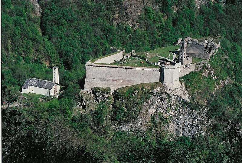
Mesocco is a municipality in the Moesa Region in the Swiss canton of Graubünden. ()
Mesocco – popular in the area (distance from the attraction)
Nearby attractions include: Mesocco Castle, Lagh Doss, Lago d'Isola, I Rodond.
 Ruins, Forts and castles
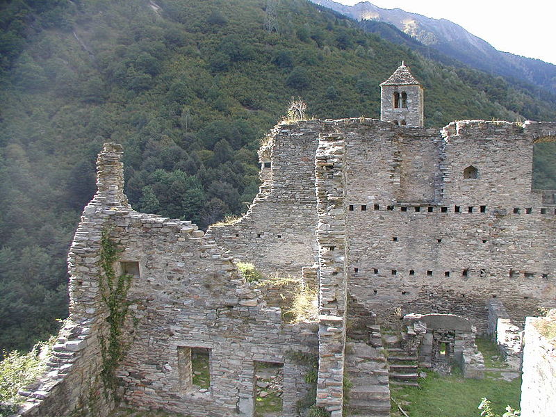
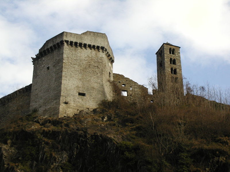
Mesocco Castle, Valle Mesolcina
21 min walk • Mesocco Castle is a ruined castle in the municipality of Mesocco of the Canton of Graubünden in Switzerland. It is a Swiss heritage site of national significance. The Castello ruins are among the largest in the canton.
 Nature, Natural attraction, Lake
Lagh Doss
108 min walk • Lagh Doss is a lake at San Bernardino in the Val Mesolcina of the Grisons, Switzerland. It is located at an elevation of 1652 m. The site is listed in the Federal Inventory of Raised and Transitional Bogs of National Importance.
 Nature, Natural attraction, Lake
Lago d'Isola
117 min walk • Lago d'Isola is a reservoir at San Bernardino, Grisons, Switzerland. The reservoir's surface area is 39 ha.
 Nature, Natural attraction, Mountain
I Rodond
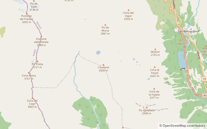
154 min walk • I Rodond is a mountain of the Swiss Lepontine Alps, located west of San Bernardino in the canton of Graubünden. It lies north of the Pass di Passit, on the range between Val Calanca and Val Mesolcina.
 Nature, Natural attraction, Valley
Val Calanca
170 min walk • The Val Calanca is a valley of the Swiss Alps, located in the Lepontine Alps. The valley is drained by the Calancasca, a tributary of the Moesa, at Roveredo.
 Nature, Natural attraction, Mountain
Piz Pombi, Valle Mesolcina
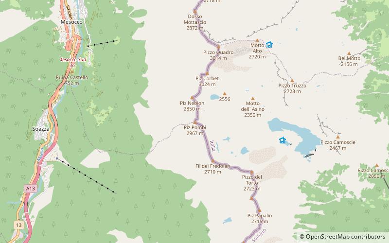
67 min walk • Piz Pombi is a mountain of the Lepontine Alps, located on the Swiss-Italian border. It overlooks Soazza on its western side.
 Nature, Natural attraction, Mountain
Cima de Gagela, Valle Mesolcina
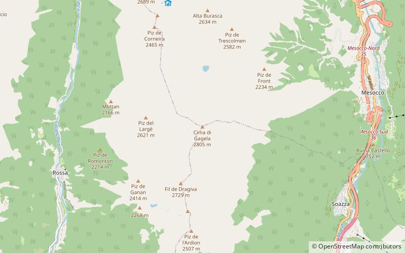
73 min walk • Cima de Gagela is a mountain of the Lepontine Alps, located between the Val Calanca and the Mesolcina, in the canton of Graubünden. With a height of 2,805 metres above sea level, it is the highest summit of the range located south of Pass di Passit. The mountain lies approximately halfway between Rossa and Mesocco.
 Nature, Natural attraction, Mountain
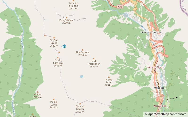
Piz de Trescolmen, Valle Mesolcina
65 min walk • Piz de Trescolmen is a mountain of the Lepontine Alps, situated in the canton of Graubünden, Switzerland. It has several summits: the highest at 2,652 metres and the southern at 2,581 metres. On its southern side it overlooks the Trescolmen Pass.
 Locality
Lostallo
146 min walk • Lostallo is a municipality in the Moesa Region in the Swiss canton of Graubünden.

 Natural attraction, Mountain
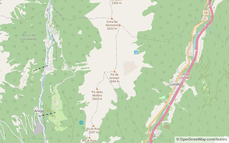
Piz de Groven
158 min walk • Piz de Groven is a mountain of the Lepontine Alps, located between Selma and Lostallo in the Swiss canton of Graubünden. With an elevation of 2,694 metres above sea level, it is the highest summit of the chain south of Pass de Buffalora.


