Lostallo
#2050 among destinations in Switzerland
![Lostallo location map](https://tzmedia.b-cdn.net/media/images/static-maps/ch/46_3129_9_19627.jpg)
Facts and practical information
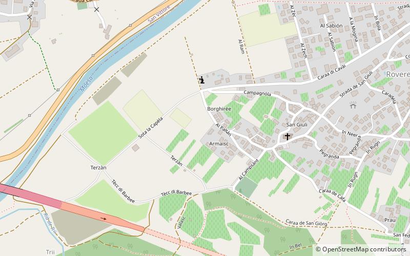
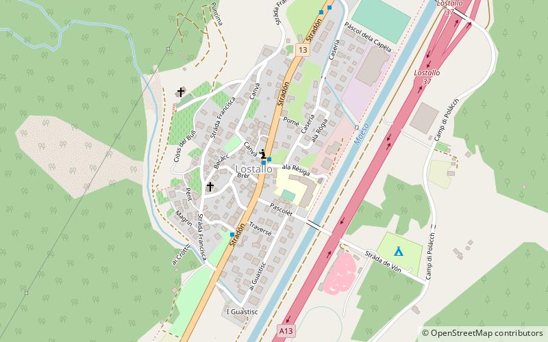
Lostallo is a municipality in the Moesa Region in the Swiss canton of Graubünden. ()
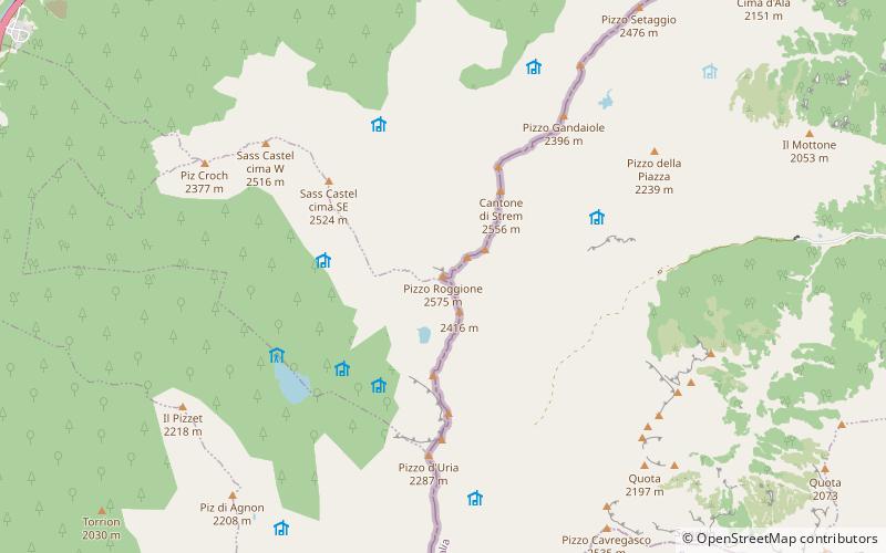
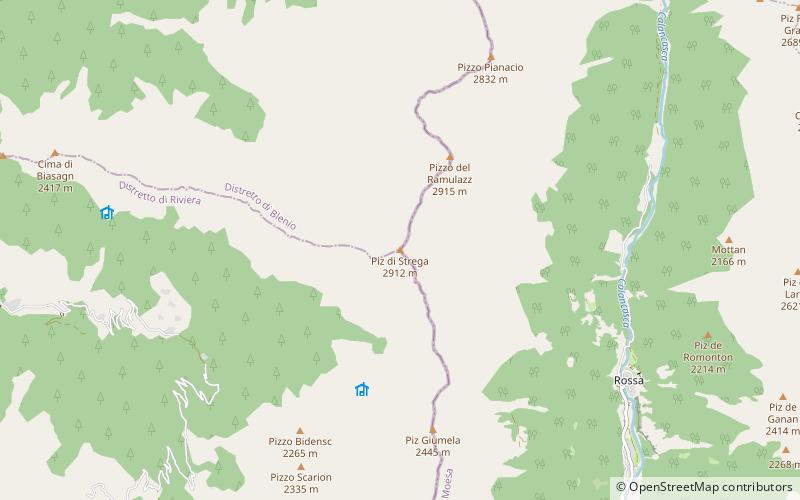
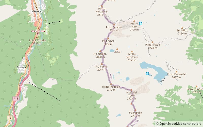
Lostallo – popular in the area (distance from the attraction)
Nearby attractions include: Mesocco Castle, Santa Maria in Calanca Castle, Lago di Cama, Pala Castle.
5 miNRuins, Forts and castlesMesocco Castle, Valle Mesolcina
127 min walk • Mesocco Castle is a ruined castle in the municipality of Mesocco of the Canton of Graubünden in Switzerland. It is a Swiss heritage site of national significance. The Castello ruins are among the largest in the canton.
4.2 miSWForts and castlesSanta Maria in Calanca Castle
109 min walk • Santa Maria in Calanca Castle is a tower in the municipality of Santa Maria in Calanca of the Canton of Graubünden in Switzerland. It, along with the neighboring Church of the Assumption of St. Mary, are both Swiss heritage sites of national significance.
4.3 miSNature, Natural attraction, LakeLago di Cama
109 min walk • Lago di Cama is a lake in the Cama valley, a side valley of Val Mesolcina in the Grisons, Switzerland.
6.7 miSWForts and castlesPala Castle, San Vittore
170 min walk • Pala Castle is a tower in the municipality of San Vittore of the Canton of Graubünden in Switzerland. It is a Swiss heritage site of national significance.
2.3 miSWForts and castlesNorantola Castle
58 min walk • Norantola Castle is a ruined castle in the municipality of Cama of the Canton of Graubünden in Switzerland.
4.9 miSWForts and castlesTorre Fiorenzana
124 min walk • Torre Fiorenzana is a castle in the municipality of Grono of the Canton of Graubünden in Switzerland. It is a Swiss heritage site of national significance.
6.7 miSWNeighbourhoodMoesa District, San Vittore
171 min walk • Moesa District, often referred to as Moesano, is a former administrative district in the canton of Graubünden, Switzerland. It had an area of 473.74 km² corresponding to the Val Mesolcina, the valley of the eponymous Moesa River.
4.1 miSENature, Natural attraction, MountainPiz de Cressim
105 min walk • Piz de Cressim is a mountain of the Lepontine Alps on the Swiss-Italian border. On its west side lies the Val Cama and on its east side lies the Valle Bodengo. It is popular among climbers and mountain walkers.
7.4 miNWNature, Natural attraction, MountainPiz di Strega
189 min walk • Piz di Strega is a mountain in the Lepontine Alps, overlooking Pass Giümela on the border between the cantons of Ticino and Graubünden. Its summit lies south of Pizzo di Ramulazz.
4 miNWNature, Natural attraction, ValleyVal Calanca
103 min walk • The Val Calanca is a valley of the Swiss Alps, located in the Lepontine Alps. The valley is drained by the Calancasca, a tributary of the Moesa, at Roveredo.
5.4 miNENature, Natural attraction, MountainPiz Pombi, Valle Mesolcina
137 min walk • Piz Pombi is a mountain of the Lepontine Alps, located on the Swiss-Italian border. It overlooks Soazza on its western side.