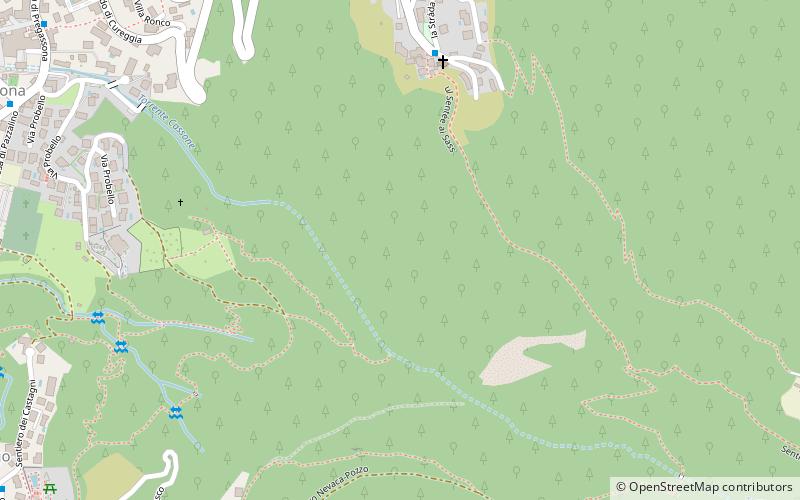
Castagnola, Lugano
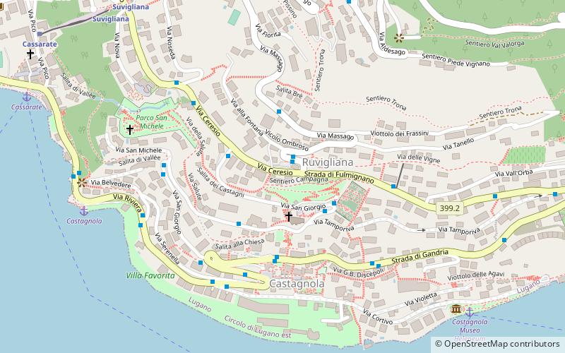
Map
Facts and practical information
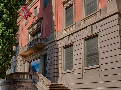
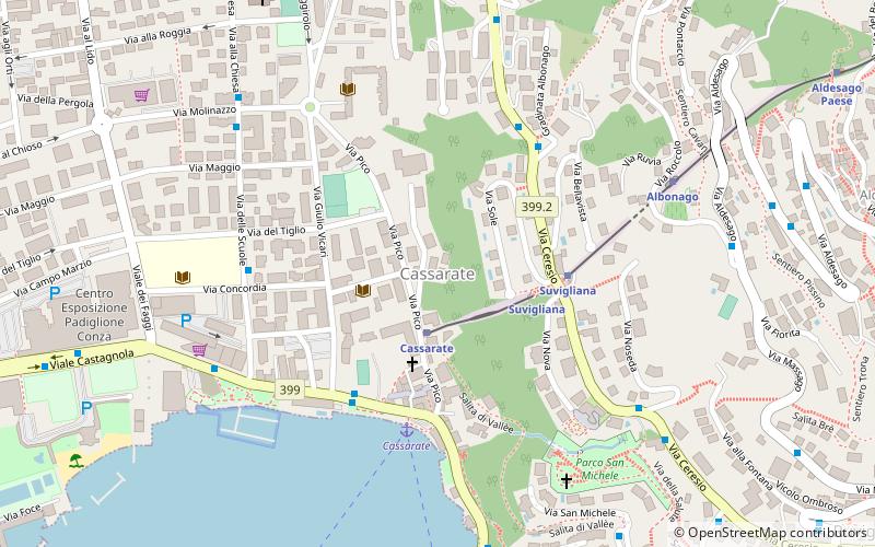
Castagnola is a village on the northern shore of Lake Lugano, below the mountain of Monte Brè, in the Swiss canton of Ticino. Politically the village forms part of the Castagnola-Cassarate quarter of the city of Lugano, although until 1972 Castagnola-Cassarate was an independent municipality under the name Castagnola. ()
Coordinates: 46°0'12"N, 8°58'39"E
Address
Lugano
ContactAdd
Social media
Add
Day trips
Castagnola – popular in the area (distance from the attraction)
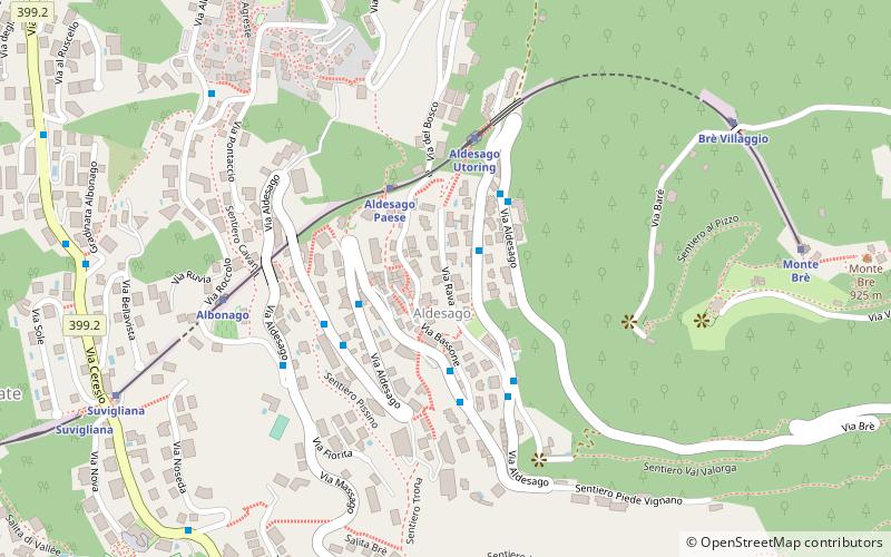
Nearby attractions include: Monte Brè, Casinò Lugano, Museum of Cultures, St. George Church.
Frequently Asked Questions (FAQ)
Which popular attractions are close to Castagnola?
Nearby attractions include St. George Church, Lugano (2 min walk), Aldesago, Lugano (9 min walk), Museum of Cultures, Lugano (9 min walk), Brè-Aldesago, Lugano (10 min walk).
How to get to Castagnola by public transport?
The nearest stations to Castagnola:
Bus
Bus
- Castagnola, Posta • Lines: 631 (4 min walk)
- Via Campo Marzio - Via Capelli • Lines: C12 (21 min walk)


