Aïre, Geneva
Map

Map

Facts and practical information
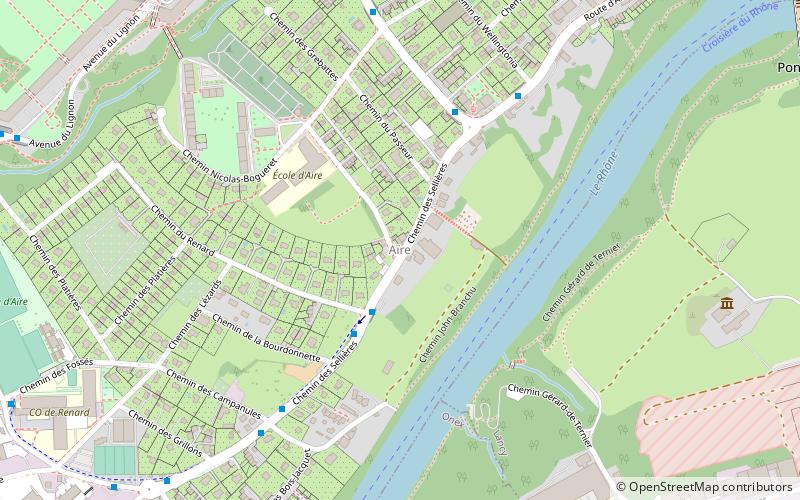
Aïre is a small locality in the Canton of Geneva. It is on the North bank of the river Rhone. It is near Le Lignon, a 1km long block of flats. ()
Coordinates: 46°11'57"N, 6°6'7"E
Address
Geneva
ContactAdd
Social media
Add
Day trips
Aïre – popular in the area (distance from the attraction)
Nearby attractions include: Viaduc de la Jonction, Geneva Freeport, Le Lignon, Vernier.
Frequently Asked Questions (FAQ)
Which popular attractions are close to Aïre?
Nearby attractions include Le Lignon, Geneva (12 min walk), Parc Aventure Geneve Evaux, Geneva (21 min walk).
How to get to Aïre by public transport?
The nearest stations to Aïre:
Bus
Trolleybus
Tram
Train
Bus
- Aïre • Lines: 28, 51, Nc (5 min walk)
- Grand-Champ • Lines: 28, 51, Nc (7 min walk)
Trolleybus
- Aïre • Lines: 7 (6 min walk)
- Grand-Champ • Lines: 7 (7 min walk)
Tram
- Les Esserts • Lines: 14 (24 min walk)
- Bandol • Lines: 14 (24 min walk)
Train
- Lancy-Pont-Rouge (36 min walk)


