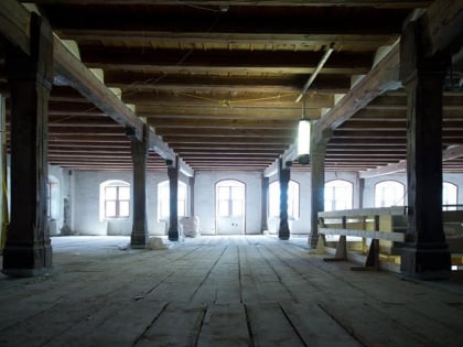
Steinbrugg Castle, Solothurn
Map
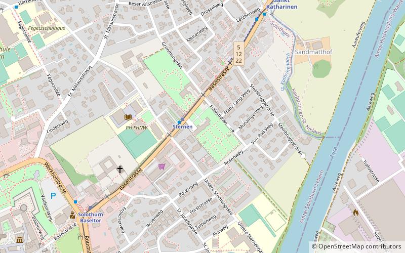
Map

Facts and practical information
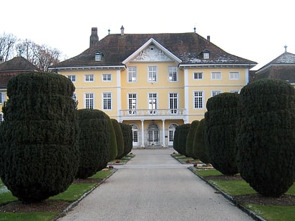
Steinbrugg Castle is a castle in the municipality of Solothurn of the Canton of Solothurn in Switzerland. It is a Swiss heritage site of national significance. ()
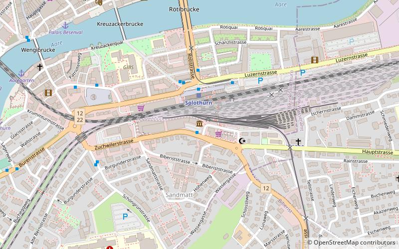
Coordinates: 47°12'44"N, 7°32'47"E
Address
58 BaselstrasseSolothurn
ContactAdd
Social media
Add
Day trips
Steinbrugg Castle – popular in the area (distance from the attraction)
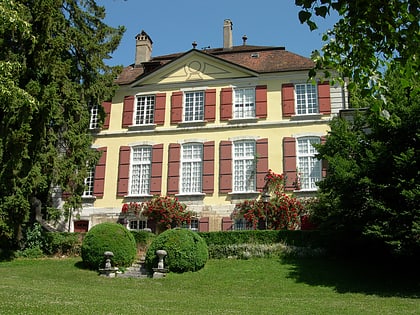
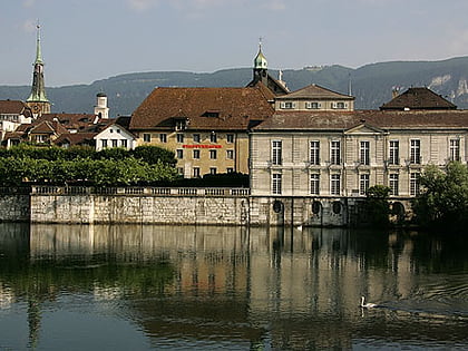
Nearby attractions include: Solothurn Cathedral, Kunstmuseum Solothurn, Enter Museum, Waldegg Castle.
Frequently Asked Questions (FAQ)
Which popular attractions are close to Steinbrugg Castle?
Nearby attractions include Museum Altes Zeughaus, Solothurn (11 min walk), Solothurn Cathedral, Solothurn (12 min walk), Kunstmuseum Solothurn, Solothurn (12 min walk), Jesuit Church, Solothurn (13 min walk).
How to get to Steinbrugg Castle by public transport?
The nearest stations to Steinbrugg Castle:
Train
Bus
Light rail
Train
- Sternen (2 min walk)
- Solothurn Baseltor (7 min walk)
Bus
- Sternen • Lines: 12 (2 min walk)
- St. Katharinen • Lines: 12 (7 min walk)
Light rail
- Solothurn RBS • Lines: Re, S8 (16 min walk)
