Al-Asali, Damascus
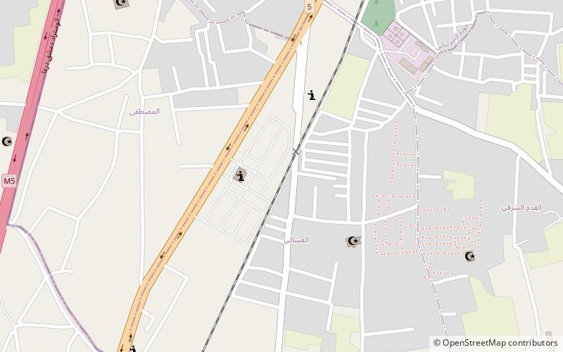
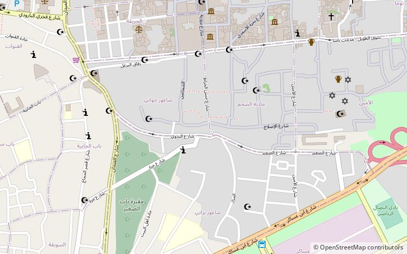
Map
Facts and practical information
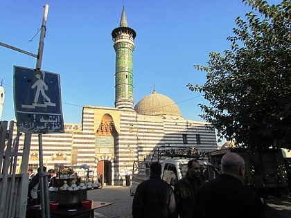
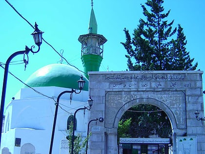
Al-Asali is a neighborhood and district of the Qadam municipality in Damascus, Syria. It had a population of 21,731 in the 2004 census. The neighborhood was built around the small al-Asali maqam, named after Shaykh Ahmad al-Asali al-Khalwati, a local Muslim holy man. The al-Asali shrine was a station in the annual Hajj pilgrim caravan, which came to an end in the early 20th century. During the caravan procession, tents were set up around the shrine to host dignitaries and pilgrims before the caravan departed the city for Mecca. ()
Coordinates: 33°27'59"N, 36°17'9"E
Address
Damascus
ContactAdd
Social media
Add
Day trips
Al-Asali – popular in the area (distance from the attraction)
Nearby attractions include: Sinan Pasha Mosque, Bab al-Saghir, Bab al-Saghir Cemetery, Murad Pasha Mosque.
Frequently Asked Questions (FAQ)
How to get to Al-Asali by public transport?
The nearest stations to Al-Asali:
Train
Train
- Damascus Kadam (20 min walk)
