Abu Jarash, Damascus
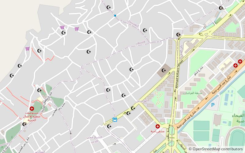
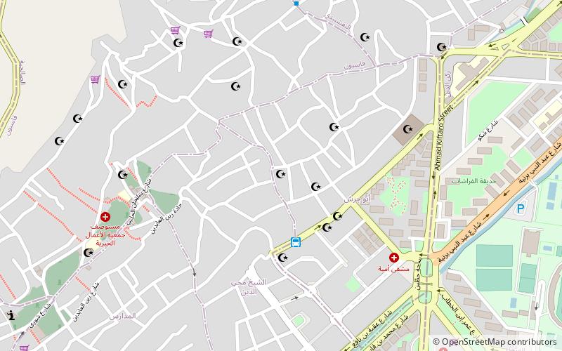
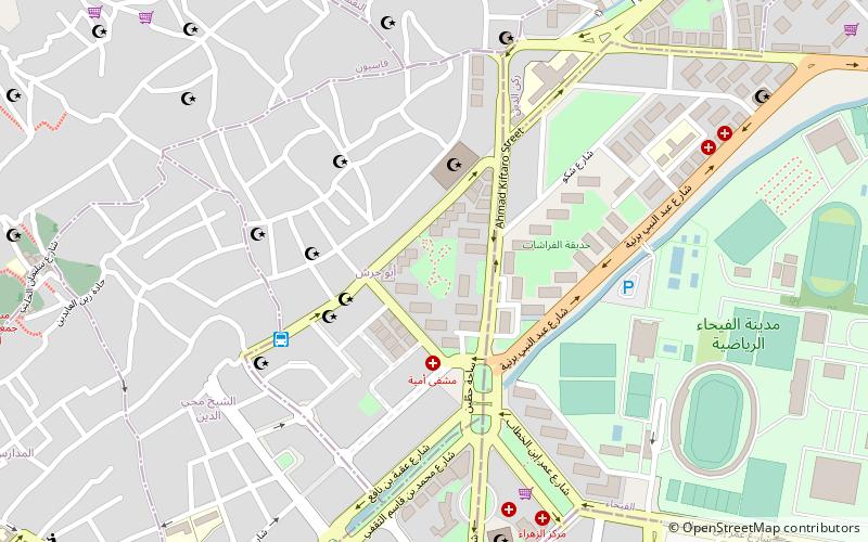
Map
Facts and practical information
Abu Jarash is a neighborhood and district of the al-Salihiyah municipality of Damascus, Syria. It had a population of 12,798 in the 2004 census. In the 1936 French Mandate census, Abu Jarash had a population of 9,600, all Muslims. The neighborhood was built around the domed mausoleum of Abu Jarash, also known as Abdallah ibn Sala al-Raqqi, a high-ranking Ayyubid royal court official. ()
Coordinates: 33°31'56"N, 36°17'25"E
Address
Damascus
ContactAdd
Social media
Add
Day trips
Abu Jarash – popular in the area (distance from the attraction)
Nearby attractions include: Sabaa Bahrat Square, Aqsab Mosque, Hanabila Mosque, Mount Qasioun.
Frequently Asked Questions (FAQ)
Which popular attractions are close to Abu Jarash?
Nearby attractions include Hanabila Mosque, Damascus (3 min walk), Rukneddine, Damascus (5 min walk), Al-Rukniyah Madrasa, Damascus (8 min walk), Iman, Damascus (22 min walk).
How to get to Abu Jarash by public transport?
The nearest stations to Abu Jarash:
Bus
Bus
- ميدان شيخ محي الدين (5 min walk)
